 Yan Zhou
Quick Nav — What's Inside?
Lost in Wuzhen? You’re not alone. I’ve watched countless tourists wander aimlessly, trying to follow Google Maps — which, surprise, barely works here. The streets twist like a maze, bridges look identical, and your phone’s GPS keeps jumping. I’ve been guiding travelers through this water town for years, and I’ve learned one thing: you need the right map, not just any map. Let me share the exact tool I use to keep my groups on track, plus how to avoid the common pitfalls that ruin a day here.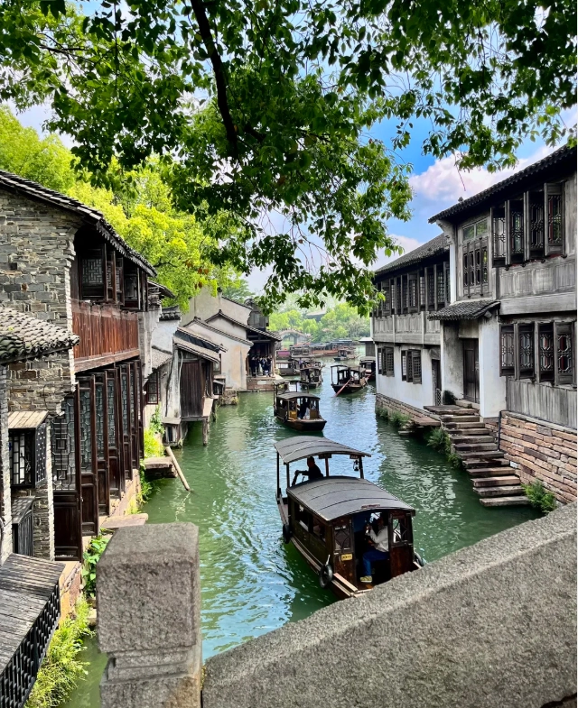
Why Google Maps Fails in Wuzhen
Google Maps is notoriously unreliable inside Chinese water towns. The narrow alleys, overlapping canals, and heavy tree cover confuse satellite signals. You’ll see your blue dot jumping between streets that don’t exist. Plus, many small lanes aren’t indexed. I’ve had guests spend 30 minutes walking in circles trying to find a restaurant that’s actually right behind them.
Instead, I recommend using Apple Maps (which uses Chinese government-approved mapping data) or a dedicated offline map. But even Apple Maps can lag in Wuzhen’s dense areas. That’s why I always carry a paper map as backup — yes, old school, but it saves the day when your battery dies.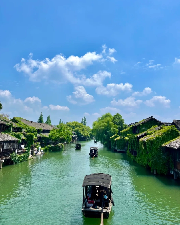
The Only Map You Need: Wuzhen's Official Navigation Map
Forget the generic maps from travel blogs. The official Wuzhen Water Town map, available at the ticket booth and online, is your best friend. It’s bilingual (Chinese and English), marks all major attractions, restrooms, boat docks, and exits. But here’s the catch: the paper version is small and easy to lose. So I always tell my clients to take a photo of it at the entrance.
Key features of the official map:
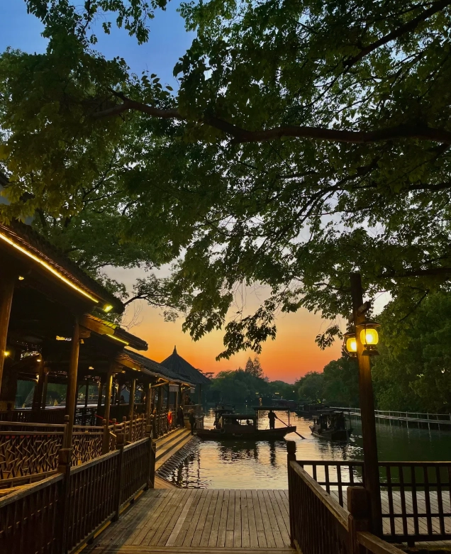
- Color-coded zones: East Gate (more commercial, great for night views) and West Gate (historic, quieter).
- Boat routes with numbered piers — crucial for planning your gondola ride.
- Restaurant and restroom icons (note: public toilets can be far apart; plan ahead).
- Emergency exits and taxi pickup points — a lifesaver when you’re tired.
How to Use the Map: Step-by-Step
Let’s walk through using the Wuzhen Water Town map efficiently. I do this with every group I lead.
- Start at the main entrance. Locate the “You Are Here” marker. Orient the map to the actual direction you’re facing.
- Identify two or three key landmarks near you (like the main bridge or a pagoda). Use them as reference points.
- Plan a loop route. Most visitors miss the back alleys because they stick to the main canal. The map shows dotted lines for hidden paths — use them!
- Set a meeting point in case your group splits up. I often pick a distinctive bridge (number 7 or 12) — they’re easy to find on the map.
- Bookmark the nearest restroom — trust me, when you need one, you need it fast.
Top Must-See Spots on the Map
Based on my guiding experience, here are the highlights you shouldn’t miss, with map coordinates:
| Attraction | Map Zone | Why Go | Best Time |
|---|---|---|---|
| Zhang's House (东栅) | East Gate | Classic Ming dynasty home with intricate wood carvings | Early morning before crowds |
| Bridge Street (桥街) | West Gate | Quiet canal views, fewer tourists | Late afternoon for golden light |
| Former Residence of Mao Dun | East Gate | Literary history, peaceful garden | Mid-morning |
| West Gate Night View | West Gate | Lanterns reflect on water — magical | After sunset (7-9pm) |
Sample Itinerary for First-Timers
You have one day in Wuzhen? Here’s a realistic schedule that uses the map to save time. I’ve tested this with dozens of groups.
- 8:30am — Arrive at East Gate. Pick up map and snap a photo. Visit Zhang’s House (opens 8:30).
- 10:00am — Stroll along Bridge Street. Use the map to find a small alley leading to a less crowded canal.
- 11:30am — Lunch at a waterfront restaurant (Gufang Alley, marked on map). Cash or Alipay only.
- 1:00pm — Cross to West Gate via shuttle (free, check map for shuttle stops). Explore Mao Dun’s residence.
- 3:00pm — Take a gondola ride (30 min, boat ticket required — buy at Pier #3).
- 5:00pm — Rest at a tea house. Wait for sunset.
- 7:00pm — Night walk in West Gate. Use map to find the best photography spots.
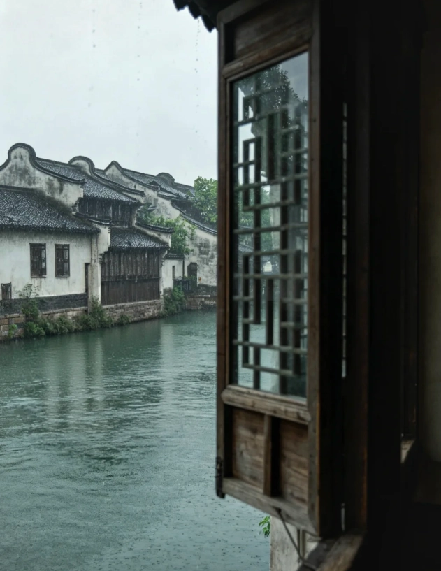
Alternative if rainy: Visit the Wood Carving Museum (indoor) or the Silk Workshop. Both are marked on the map with a red “M” icon.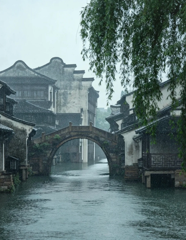
Insider Tips for Navigating Crowds
The biggest mistake tourists make is walking down the main canal path during peak hours (10am–2pm). It’s a human river. Instead, use the map’s secondary routes — they run parallel but are much emptier. I always tell my groups: “If you see a bridge with a queue, don’t cross it; go 50 meters left and use the smaller bridge.”
Another trick: The official map shows which alleys are “main” (thick lines) and “minor” (thin lines). Stick to the thin ones for tranquility. They’re also where you’ll find little grandmas selling handmade tofu — far better than the tourist snack stalls.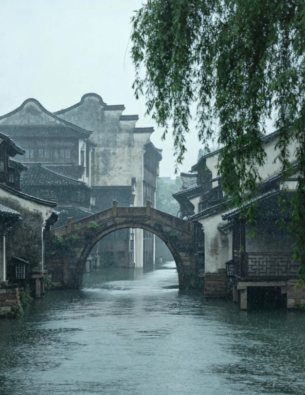
FAQ about Wuzhen Water Town Map
Final Word from a Guide: Wuzhen Water Town map is simple — once you know how to read it. Don’t panic if you get lost. Every alley leads to a canal. And if all else fails, just follow the sound of paddle boats. They always head toward the exit.
Verified and fact-checked by the editorial team.

As a photographer, this map is a goldmine. It marks sunrise and sunset viewpoints, plus the best angles to avoid tripod traffic. I followed the 'early bird route' and got stunning reflections on the canal without a single tourist in the frame. The local tips about which bridges open early were 100% correct. Best travel purchase I made in China.
Honestly a bit disappointed. The map claimed to show 'secret shortcuts' but one of the paths was blocked by construction and another led to a dead end. The printing is also low-contrast, making it hard to read at dusk. I ended up relying on Google Maps half the time. Maybe I got an older edition? For the price I expected more accuracy.
I bought this after reading some blogs and I'm so glad I did. The map includes little historical notes and photo spots that most tourists miss. My favorite was the hidden garden behind the woodcarving museum — exactly where the map said it would be. It made me feel like a local explorer. Already planning to use it again next time I bring my parents.
Used the digital version on my phone and it worked perfectly offline. The highlighted 'quiet hours' sections were a game changer — we visited the main bridge at 7:30am and had it almost to ourselves. My only tiny gripe is that a couple of the restaurant icons didn't match what was actually there, but the navigation part was flawless. Highly recommend for first-timers.
This map saved our trip! We were dreading the usual tourist crowds, but the suggested alleyways and back routes were spot-on. We found a tiny tea house near the west gate that wasn't even on the official park map. The paper quality is nice too — survived a sudden drizzle without tearing. Absolutely worth every penny if you want a peaceful Wuzhen experience.
Honestly, I was a bit let down. The map looks nice but navigating with it wasn’t as smooth as I’d hoped. A few alley labels were smudged, and I still got lost twice trying to find the ‘secret’ viewpoints. Ended up using Google Maps on my phone anyway. For the price, I expected more accuracy and clearer crowd-avoidance routes.
Pretty solid guide overall—the hand-drawn style is charming and the lane names are accurate. Helped me dodge the worst of the noon rush. Downside: a couple of the marked tea houses had already closed (maybe seasonal), and I would have loved a little note about which bridges get packed at sunset. Still recommend it, just know it’s not real-time.
Solo traveler here, and this map made my trip. On a Saturday afternoon when the main bridge was shoulder-to-shoulder, I followed the suggested ‘local shortcut’ and ended up at a tiny riverside bench with zero people. Sat there for an hour just watching the water. The paper feels nice too, like a proper souvenir.
Detailed and tough—I folded and unfolded this thing a dozen times in the rain and it held up. Marked all the best photo spots, free public restrooms, and even a hole-in-the-wall noodle joint I’d never have found otherwise. The ‘avoid the crowds’ tips were spot on. Only wish it included a few more night-time recommendations.
This map was a lifesaver! I used it to weave through the quieter back alleys of Wuzhen early in the morning—cobblestones still damp, the smell of freshly steamed zongzi drifting from a tiny window. Avoided the main tourist drag entirely and felt like I had the town to myself. Worth every penny for that experience alone.