.jpeg) Dr. Xue Zhao
Dr. Xue Zhao
What You'll Find Here
I’ve been leading hiking groups in Sichuan for nearly a decade, and Siguniang Mountain—often called the "Four Sisters"—remains one of my favorite spots. The trails here are world-class, with alpine lakes, glaciers, and wildflower meadows. But they also throw challenges: altitude, sudden weather shifts, and confusing permit rules. This guide walks you through every major route, packed with details only a local guide would know.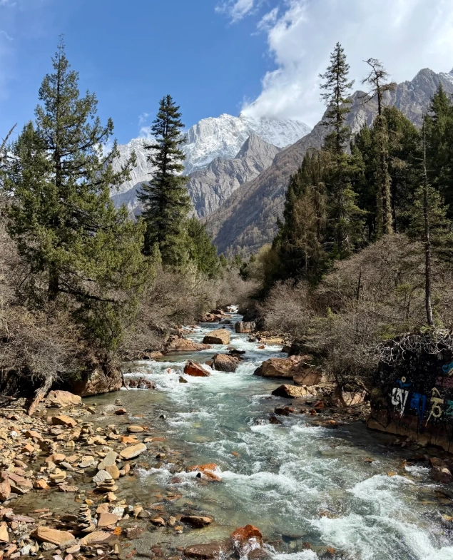
Overview: Why Siguniang?
Located in Xiaojin County, Aba Prefecture, Sichuan, Siguniang Mountain National Park is about 220 km west of Chengdu. The park has three main valleys—Changping Valley, Haizi Valley, and Shuangqiao Valley—each offering different hiking experiences. The highest peak, Yaomei Feng (6,250 m), is off-limits to non-climbers, but the trekking routes are accessible to fit beginners and hardcore backpackers alike.
Best season: May to October. July and August bring monsoon rains, so I prefer late May–June (wildflowers) or September–October (clear skies and golden larches). Winter trails are deep snow—only for seasoned mountaineers.
The Three Main Valleys
1. Changping Valley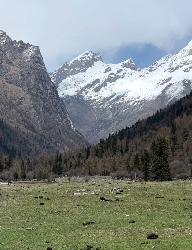
This is my go-to for a one-day hike with incredible views. The trail follows an ancient tea-horse road, passing through forests and open meadows right under the south face of the Four Sisters.
- Distance: 29 km round trip (usually done 7–8 hours walking; most people go to the end at Muluor River)
- Elevation gain: Starting at 3,300 m, max at 3,760 m
- Difficulty: Moderate. The path is mostly dirt and wooden boardwalks, with a few steep sections near the end.
- Entry fee: 70 RMB (adult), 35 RMB (student). Plus a compulsory sightseeing bus: 20 RMB one way (you can walk back). Tip: Buy tickets on Ctrip or the official WeChat mini-program '四姑娘山景区'—walk-ups are possible but queues can be 30 min in July.
- Personal note: I always tell my groups to start before 8 AM to avoid afternoon clouds. The last 2 km are rough—your legs will scream—but reaching the river and looking up at the sheer rock wall is totally worth it.
2. Haizi Valley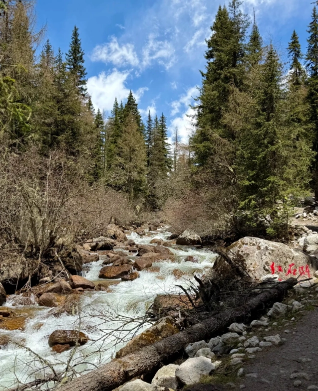
Haizi means "lake valley"—and it’s exactly that: a chain of turquoise alpine lakes. This is the toughest day hike, and also the least crowded.
- Distance: 12 km to the first big lake (Huahai Lake), 18 km to the farthest (Shuangjiaohaizi). Most people turn around at Huahai.
- Elevation gain: From 3,300 m to 4,300 m at the highest lake
- Difficulty: Hard. The trail is a steep dirt path with no shade after the first section. Altitude hits hard.
- Entry fee: 60 RMB (adult). No bus—you hike from the entrance gate.
- Warning: I’ve seen many people with altitude sickness here. Carry Diamox and at least 2 liters of water. The last kilometer climbs 300 m—take it slow.
3. Shuangqiao Valley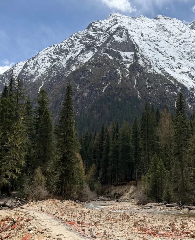
This is the easiest valley, more of a sightseeing route than a hike. A shuttle bus takes you to various stops where you can walk short trails. Perfect for families or acclimatization days.
- Distance: 35 km of road with 6 bus stops. Walking paths between stops are 1–2 km each.
- Elevation: 3,100–3,800 m
- Difficulty: Easy. You can hop on and off the bus all day.
- Entry fee: 80 RMB (adult) + 70 RMB bus ticket (mandatory).
- Note from experience: The last bus departs at 5 PM—don’t miss it, or you’ll be walking 2 hours back. The Yaksa Peak viewpoint at stop 5 is my personal favorite for photos.
The Epic Traverse: Changping to Bi Feng Pass
This is the holy grail of Siguniang hiking trails—a 3-day, 43 km backpacking route that crosses a 4,700 m pass (Bi Feng Pass) into the ancient Bi Feng Valley. It’s technically non-technical (no ropes needed), but requires excellent fitness and navigation skills.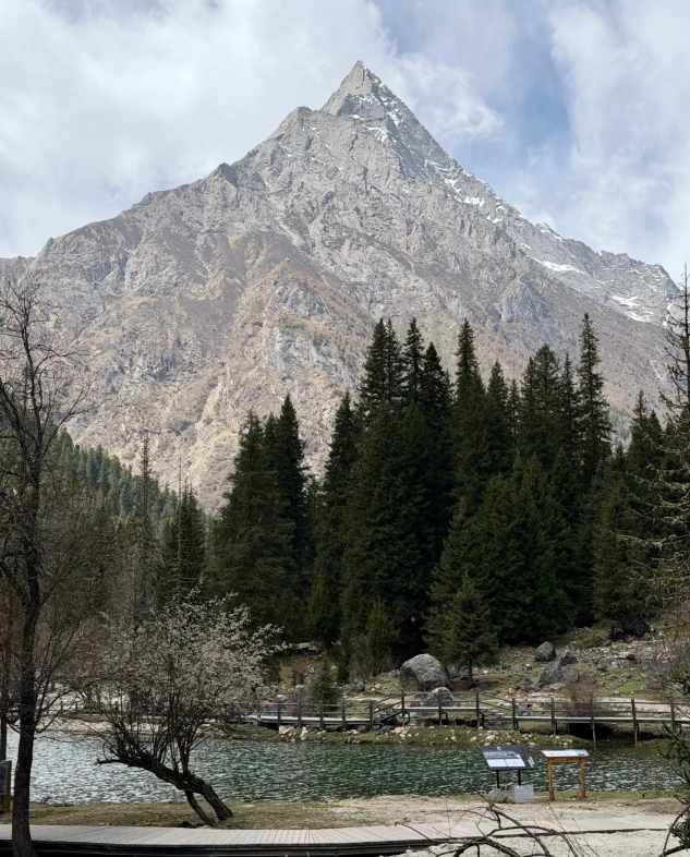
Route breakdown:
- Day 1: Enter Changping Valley, hike 12 km to Muluor River (3,700 m). Camp near the river (permit required).
- Day 2: Ascend the pass—5 km, 1,000 m vertical gain. The slope is steep, with loose scree near the top. At the pass (4,700 m), you get jaw-dropping views of the north face. Then descend 10 km into Bi Feng Valley to camp at Niutoushan (3,600 m).
- Day 3: Hike 15 km out to the Bi Feng Valley exit. A local driver can take you back to Rilong Town (1 hour, 200–300 RMB).
Permits: You must register with the Siguniang Mountain Administration (in person at the visitor center or via a certified guide). Solo crossing without a guide is strongly discouraged—I’ve had to rescue lost hikers twice. Hire a licensed guide (around 500–700 RMB/day) who knows the weather and can handle emergencies.
Practical Tips & Gear
| Item | Recommendation |
|---|---|
| Footwear | Waterproof boots with good ankle support. The trails are muddy after rain. |
| Clothing | Layer system: base (merino), mid (fleece), outer (windproof). Temps can swing from 5°C to 25°C in one day. |
| Altitude meds | Diamox (acetazolamide) – start 24h before. I stock up at a pharmacy in Chengdu. |
| Navigation | Download offline maps (Gaode or Maps.me). Chinese signs have English. |
| Food & water | High-energy snacks and purification tablets. Water sources are abundant but treat everything. |
| Permits | For overnight hikes, register at the Siguniang Visitor Center in Rilong Town (open 8 AM–5 PM). |
Getting to Siguniang Mountain
From Chengdu, you have two main options: 1) Bus: From Chadianzi Bus Station, direct bus to Rilong Town (6–7 hours, 120 RMB). 2) Private car/taxi: About 5 hours via the new expressway through Balangshan Pass (stopping at the 3,800 m viewpoint). Rilong Town is the base village—full of guesthouses, gear rentals (hiking poles, sleeping bags), and restaurants with Sichuan food and some Western options.
Where to stay: I usually recommend “Shanmao Guesthouse” for budget travelers (80 RMB/dorm, clean, English-friendly) or “Siguniang Mountain Snow Peak Hotel” for comfort (300–500 RMB/night, with heating).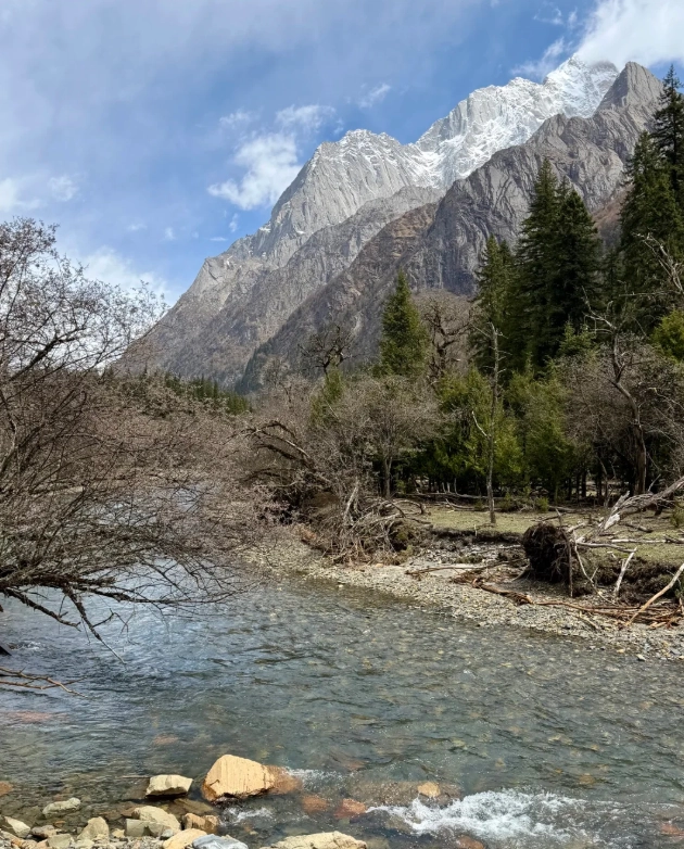
Altitude Acclimatization
Most people fly into Chengdu at 500 m and then drive to Rilong (3,200 m). That’s a big jump. I always insist my groups spend one night in Rilong before any serious hike.
My 3-step acclimatization plan:
1. Day 1: Arrive, drink lots of water, take a short walk around town (2–3 km).
2. Day 2: Do Shuangqiao Valley (easy, bus-based) – keep moving but don’t push.
3. Day 3: Tackle Changping or Haizi. This has saved many clients from severe headaches and vomiting.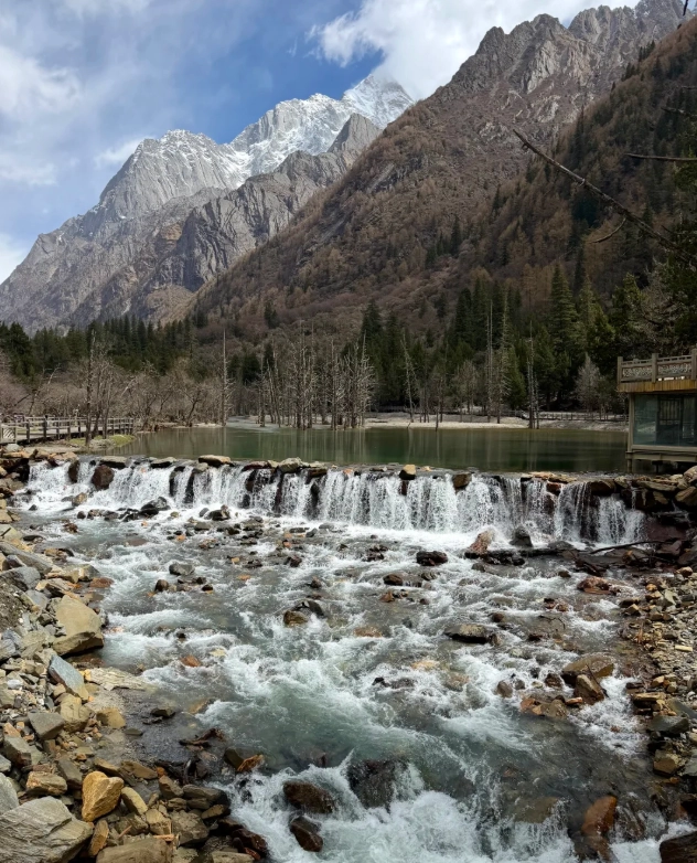
Frequently Asked Questions
This article has been fact-checked based on my personal guiding experience and the official Siguniang Mountain National Park regulations. Information may change; always verify permits and fees on the official website or with the park administration.
No comments yet.