 Chen Liu
I still remember the moment I realized the Wudang Mountains map was not just a piece of paper. It was a puzzle. Three of my clients, armed with a hotel brochure map, ended up at the wrong gate after two hours of walking. The mountain is massive, and the map's failure cost them an entire morning. But here's the thing: you don't need to struggle like that.
You're planning a trip to Wudang? The key to a smooth visit is mastering the Wudang Mountains map before you step on the train. Forget the printed maps at the hotel—they're useless once you're inside the scenic area. What you really need is a combination of offline navigation on your phone and a clear understanding of the mountain's layout.
Here's my golden rule: the only map you truly need splits the site into three corridors—Southern, Eastern, and Western—and knowing which one matches your time and fitness level is 80% of the battle. Stick with me, and I'll show you exactly how to use the Wudang Mountains map to skip the crowds, save your knees, and see everything from the Golden Hall to the Purple Cloud Temple without losing your mind.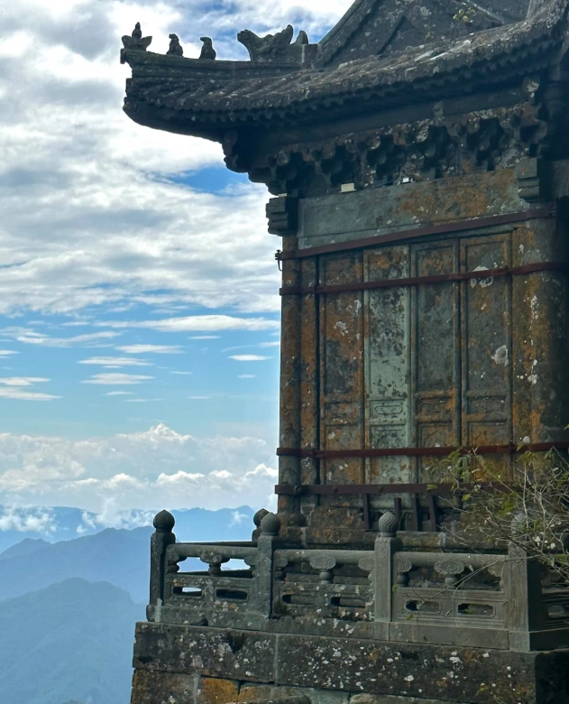
Why the Official Wudang Mountains Map Can Confuse Everyone
The official Wudang Mountains map you get at the ticket booth is, ironically, a great way to get lost. It's printed in Chinese, and while that's fine for locals, it's a minefield for foreigners. The topographical markers are vague, and the scale seems to shrink when you're actually climbing stairs. I've seen countless travelers stand at the South Rock area, staring at the map, trying to figure out if they were looking at a 500-meter walk or a 2-hour hike. The answer? It's always longer than it looks.
Here's a common trap: the map shows all the "attraction points" like the Purple Cloud Temple, the South Rock Palace, and the Golden Hall as if they're connected by a single path. In reality, these spots are scattered across three distinct zones, each with its own shuttle bus stop and ticket gate. If you follow the map literally, you'll zigzag across the mountain and end up exhausted with very little to show for it.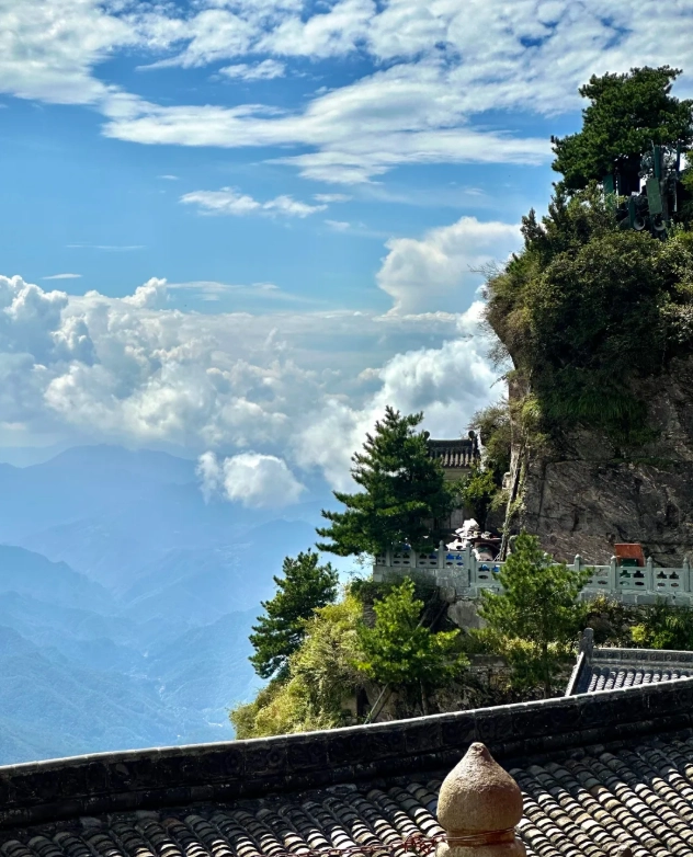
How to Use the Wudang Mountains Map: Key Routes and Sites
Let me break down the mountain the way I do for my clients: the Wudang Mountains map actually represents three main corridors.
Southern Corridor: The Historical Heart
The Southern Corridor is where most Taoist temples cluster, including the iconic South Rock Palace and the Purple Cloud Temple. This is also the starting point for the famous "Angel Steps" (the 1,000+ stone steps leading to the Golden Hall). I always recommend spending your first morning here, because the morning light turns the ancient blue tiles into a photogenic dream. The shuttle bus from the main entrance drops you at the South Rock station, and from there you can walk to the South Rock Promenade. There's a magnificent cliff-side walkway that even my 70-year-old aunt managed last year—just don't look down!
Eastern Corridor: The Golden Hall Journey
The Eastern Corridor is the quickest way to the summit—if you take the cable car. From the Jiangtao (Qiongtai) station, a scenic gondola lifts you up to the lower summit in about 25 minutes. The cable car runs from 8:00 to 17:00 (or 17:30 in summer), but queues form fast after 10:00. If you're short on time, this is your lifeline. But here's the catch: the last cable car down is often crowded too. I once waited 45 minutes with a group of tourists who missed the 16:30 return because they wanted one more photo. Don't do that.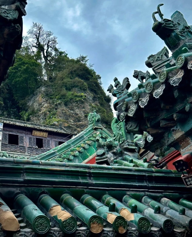
Western Corridor: The Hidden Hike
The Western Corridor is the least crowded and the most challenging—it's where you go for a real hike. It connects the South Rock area to the Five Dragon Palace and eventually leads to the summit via a different set of stairs. Most day-trippers skip it, which is exactly why I love it. The trail is dappled with ancient pines and mossy statues, and it's the best place to get away from the tour groups. But beware: the final ascent to the Golden Hall from this side is brutally steep. Only undertake it if you're in decent shape and have 4-5 hours to spare.
| Site | Area | Approx. Walking Time From Nearest Shuttle Stop | Must-See Feature | Photography Tip |
|---|---|---|---|---|
| South Rock Palace | Southern | 5 mins | Cliff-side pavilion | Shoot in morning |
| Purple Cloud Temple | Southern | 15 mins | Rare Taoist murals | Afternoon light for interior |
| Golden Hall | Summit | 20 mins on foot from cable car or 2 hrs from South Rock | Bronze statue of Zhenwu | Best at sunrise or before 9:00 |
| Five Dragon Palace | Western | 40 mins hike | Ruin of ancient palace | No crowds, always good |
How to Get to Wudang Mountains: Transportation Decoded
Reaching the Wudang Mountains starts with getting to the city of Shiyan in Hubei Province. The most convenient modern option is the high-speed train from Wuhan—about 2 hours to Shiyan East Station. From there, hop on a public bus (line 202, which takes roughly 1.5 hours) or a taxi (about 150 RMB, 1 hour). There's also a regional airport at Shiyan Wudangshan Airport, with flights from major Chinese cities like Beijing, Shanghai, and Xi'an, but check for frequency.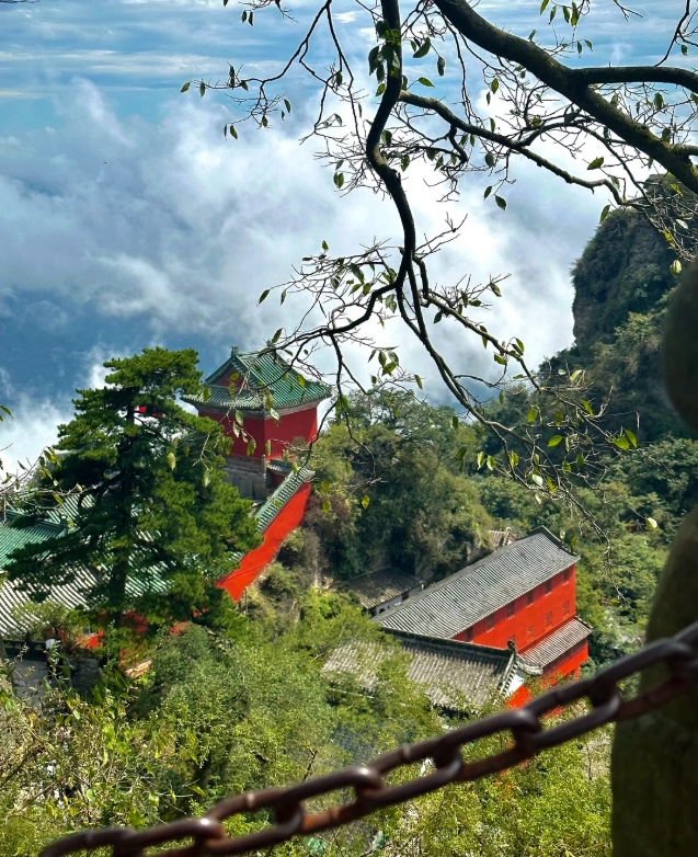
Once you're at the scenic area entrance, you'll need to take the mandatory shuttle bus (described later) to reach the inner gates. Hotels inside the mountain town—like the Wulong Palace—offer easy access, but most first-timers base themselves in the city of Wudang (known as Wudangshan town) near the main entrance.
| From | Mode | Duration | Cost (approx.) | Notes |
|---|---|---|---|---|
| Wuhan | High-speed train | 2h | 150 RMB | Most convenient |
| Shiyan East Station | Bus 202 | 1.5h | 12 RMB | Air-conditioned |
| Shiyan East Station | Taxi | 1h | 150 RMB | Fixed price, agree first |
| Wudangshan Airport | Airport shuttle | 1h | 20 RMB | Check times |
Tickets, Opening Hours, and How to Book Without a Headache
Entrance tickets are not something you do on a whim. The main ticket (which includes the mandatory shuttle bus) costs about 140 RMB for adults in peak season, and around 130 RMB in the off-season. But don't quote me—prices have been known to shift, so always check the official Wudang Mountain website or a reliable third-party platform like Trip.com. You'll also need to present your passport for the real-name system.
Here's the catch: you cannot buy a ticket at the gate without a reservation. The scenic area enforces a strict time-slot system, especially during holidays. The easiest way for a foreigner is to book online through Trip.com or Klook. Both accept international cards and send you a QR code that you scan at the entrance. Make sure you bring your passport—they will check it against the name on the ticket.
Opening hours: The main gates open at 6:30 AM and close at 5:30 PM in summer, earlier in winter (around 5:00 PM). The shuttle buses run about every 10 minutes, but the last one leaves the summit area around 6:00 PM. I always tell my groups to be at the bus stop at least 30 minutes before the last departure, because the queue can be huge.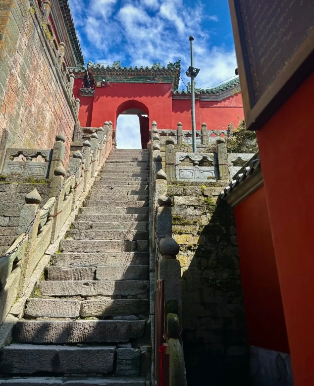
Insider Advice: Show up 20 minutes before the official opening time to beat the tour bus rush.
Smart Navigation Tips for Foreigners
Offline Navigation Over Paper Map
Your phone is the best Wudang Mountains map, but only if you download the offline version. Google Maps doesn't work well in China, so install AMap (高德地圖) or Apple Maps. AMap now has an English interface under "Settings", and you can download the offline map of Shiyan. I've guided dozens of foreigners using it, and it works like a charm once you have the offline pack.
Cash and Cards
Even with Alipay and WeChat Pay, you'll still need cash for small vendors. The mountain's small noodle shops and fruit stalls rarely accept cards, and international credit cards are useless at the ticket booth—they only take Chinese mobile payments or cash. Don't rely on your foreign card; bring at least 300 RMB in small bills.
Shuttle Bus Etiquette
The shuttle bus inside the scenic area isn't a hop-on-hop-off tour. You must board at designated stops, and your ticket includes one round trip within each zone. The drivers won't wait if you stand at the wrong side. Listen for the Chinese name of your stop, or show the driver your destination written in Chinese characters.
VPN and Translation Apps
Download a VPN before you arrive, because Google and WhatsApp won't work without one. For translation, use Apple Translate or Baidu Translate—they both work offline. I've been asked dozens of times about this by clients; it's the #1 hurdle many forget.
Sample Itineraries Based on the Wudang Mountains Map
1-Day Blitz: Southern Corridor + Golden Hall by Cable Car
If you have only one day, focus on the historical heart and the summit. Here's my exact route:
- 7:30 AM – Arrive at the main entrance, scan your ticket, and take the shuttle to the South Rock stop.
- 8:00 AM – Walk the South Rock Promenade, visit the South Rock Palace and the Dragon Head Incense Burner. (Stay 90 minutes)
- 9:30 AM – Walk (or shuttle) to the Purple Cloud Temple. (60 minutes)
- 10:45 AM – Take a shuttle to Qiongtai station. Ride the cable car up to the summit. (25 minutes cable car + 10 minutes queue)
- 12:30 PM – Lunch at the summit café (only noodles and snacks, so bring energy bars).
- 1:30 PM – Explore the Golden Hall and the surrounding area.
- 3:00 PM – Descend by cable car. Take a shuttle to the exit.
- 4:30 PM – Leave the scenic area.
This is intense but doable. The key is to be at the cable car before 11:00 to avoid the worst crowds.
2-Day Deep Dive: Add the Western Hike and Hidden Temples
With two days, you can experience the off-the-beaten-path charm. Day one follows the same Southern + summit plan above. On day two, dedicate yourself to the Western Corridor.
- Morning: Take the shuttle to the Five Dragon Palace area. Hike the 2.5 km trail through cedar forest, passing the mysterious "Stele Pavilion" (a stone monument from the Ming Dynasty).
- Lunch: Picnic at the palace ruins with views of the valley.
- Afternoon: Connect to the "Longquan" temple and then take the shuttle back to the entrance.
This route offers fewer tourists and a sense of discovery that most day-trippers miss. I always sleep better after this hike—not because I'm tired, but because I've found peace.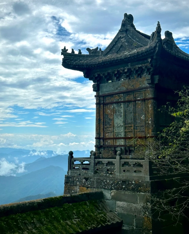
Frequently Asked Questions
Can I visit Wudang Mountains without a tour guide?
What should I do if I lose my bearings inside the scenic area?
Is the cable car worth the money if I'm fit?
Are there any safety concerns on the mountain?
Can I bring my drone to film the mountains?
Final Thoughts
Mastering the Wudang Mountains map is your passport to a fulfilling trip. The mountain rewards those who arrive prepared. Whether you choose the efficient cable-car route or the strenuous Western hike, you'll be walking in the footsteps of countless pilgrims—and you'll leave with memories that no paper map can capture.
If you have further questions, drop them in the comments below. I read every one and answer from my own guiding experience. Safe travels!
This content has been fact-checked to ensure informational precision.

No comments yet.