 Tao Xu
Quick Navigation
I’ve lost count of how many times I’ve taken first‑timers to Victoria Peak. And every single time, someone whips out a phone to check Google Maps — only to realize it’s useless for walking directions. That’s why a real Victoria Peak map matters. Not the digital kind that fails you, but knowing exactly where the tram drops you, which trail gives you the skyline without the crowds, and where to find that secret bench overlooking Kowloon.
Here is the hard truth: following a random blog’s “3‑hour loop” will leave you exhausted and missing the best angles. I’ve rescued enough sweaty tourists to write this guide. Let’s cut the nonsense — I’ll tell you exactly how to read the Peak like a local guide.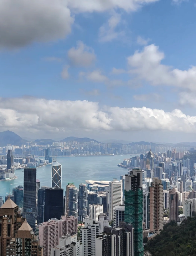
Why a Victoria Peak Map Is Not What You Think
When I say “Victoria Peak map,” I don’t mean a paper foldout. I mean a mental layout of three levels: the Peak Tower (where the tram stops), the circular Lugard Road, and the steep trails down to Pok Fu Lam or up to High West. Most visitors only see the crowded deck outside the Tower. The real magic? A 15‑minute walk along Lugard Road gives you the same view with 10% of the people.
Peak Tram Route & Tickets: Everything on the Map
The historic Peak Tram is the star of any Victoria Peak map. It climbs a 45‑degree slope for about 7 minutes. The lower terminus is at 33 Garden Road, Central. Upper terminus is inside Peak Tower.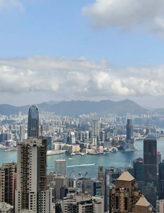
Tram Schedule & Prices
| Item | Details |
|---|---|
| Operating Hours | 7:00 AM – 10:00 PM (last ascent around 9:45 PM) |
| Adult Single | HKD 62 (about USD 8) |
| Adult Return | HKD 88 (save by buying round‑trip) |
| Children (3–11) & Seniors (65+) | Half price |
| Payment | Octopus card, Alipay, WeChat Pay, cash (exact change). International credit cards NOT accepted at the ticket counter — use a self‑service machine with Octopus or buy via Trip.com. |
| Reservation | Not required for tram alone. But if you want the Sky Terrace 428 observation deck, book in advance on Klook or Trip.com to skip the queue. |
Pro tip on timing: The tram queue can hit 40 minutes on weekends. I always take my groups at 8:00 AM right when it opens — no wait, and the air is crisp. After 5 PM it gets packed for sunset. If you hate crowds, skip the tram down; walk the Pinewood Path instead (more on that below).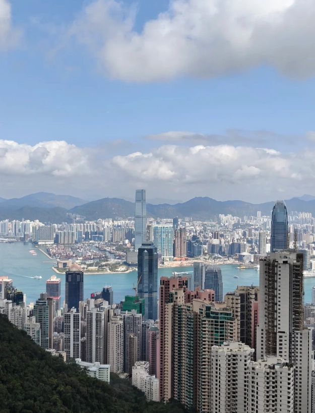
Best Hiking Trails on the Victoria Peak Map
The Peak isn’t just a viewpoint; it’s a hiking hub. Here are the three routes I recommend based on your fitness and time.
1. Lugard Road (Easy, 45 minutes, mostly flat)
Loop around the Peak. Start from the Peak Tower, follow the sign to Lugard Road (not Harlech Road). This paved path hugs the hillside, offering continuous views of Victoria Harbour. It’s stroller‑friendly. No entrance fee. English address for taxi drop: 2 Lugard Road, The Peak.
2. High West Summit (Moderate, 1.5 hours round trip)
From the same trailhead, take the steep staircase just before the Lugard Road/Harlech Road junction. It climbs 300 meters in 20 minutes — your thighs will hate it, but the 360° view from the top is worth it. I’ve seen fewer than 10 people there on a busy Saturday. Bring water; no shops on trail.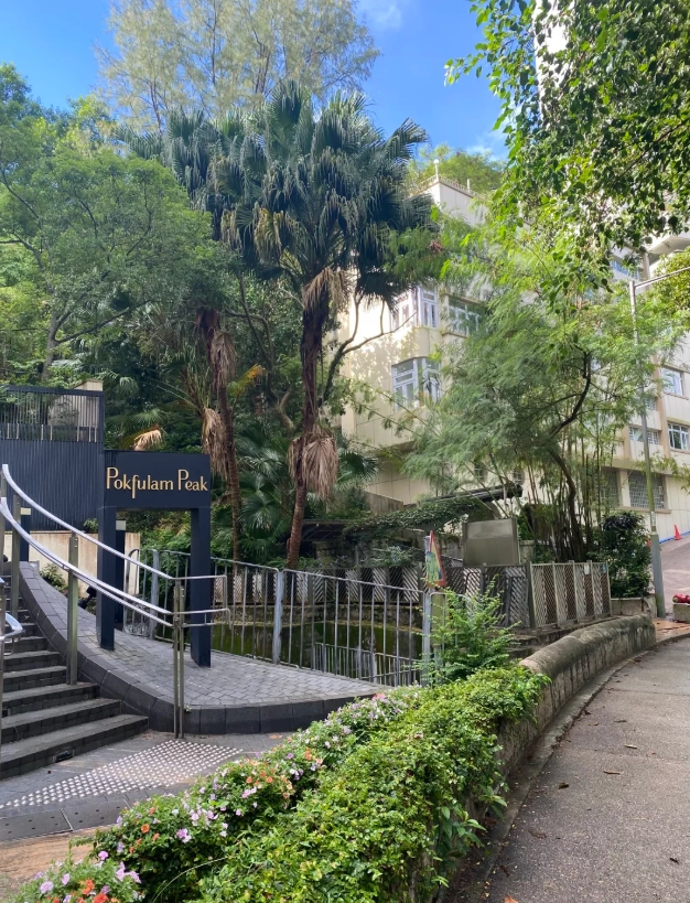
3. Pinewood Path to Pok Fu Lam (Strenuous, 2 hours one way)
If you want to skip the tram down, this trail descends through shaded forest to Pok Fu Lam Reservoir. It’s a gravel path with some roots — wear proper shoes. The exit is near the junction of Victoria Road and Pok Fu Lam Road. From there, a taxi to Central costs about HKD 40. I only recommend this if you’re fit and have good knee support. My knees regret it every time.
Must-See Viewpoints Beyond the Peak Tower
Everyone flocks to Sky Terrace 428 (HKD 75 entrance on top of tram fare). But I’ve got three alternatives that are free and less crowded.
| Viewpoint | Location | Best Time | Why Go |
|---|---|---|---|
| Lugard Road midpoint (free) | About 500m east of Peak Tower along Lugard Road | 8–10 AM for clear light | Same panoramic view as Sky Terrace, no glass barriers, perfect for photos. |
| High West Peak (free) | Summit of High West | Late afternoon for golden hour | 360° view including Lamma Island and sunset behind Lantau. |
| Mount Austin Path bench (free) | Near the Governor’s Walk junction | Any time, but magical at dusk | Secluded wooden bench overlooking the South China Sea — rarely occupied. |
Avoid the noon trap. The sun is directly overhead and harsh. Photos come out washed out. I always schedule my Peak visits between 7–10 AM or 3:30–6 PM. The lighting is soft and the city pops.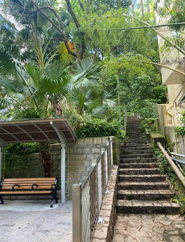
How to Get to Victoria Peak (Map Directions)
Three ways up: tram, bus, or taxi. I’ll break them down.
By Tram
Exit Central MTR (Exit J2), walk up Garden Road for 10 minutes. English address: 33 Garden Road, Central. Use Apple Maps — Google Maps leads you astray. The walk is uphill; taxis available at the MTR exit for about HKD 30.
By Bus
Take bus 15 from Exchange Square bus terminus (near Central MTR). It goes all the way to the Peak bus stop right outside Peak Tower. Adult fare HKD 11.4, Octopus or Alipay only. The ride takes 35 minutes, winding through pretty residential areas. I prefer this on rainy days — the tram can get stuffy.
By Taxi / Ride‑Hail
Show driver: “請到山頂” (ching dou saan deng) or use Didi app (set destination as “The Peak, Hong Kong”). From Central about HKD 60. From Tsim Sha Tsui about HKD 120 via the tunnel. Note: some taxi drivers may refuse short trips from the Peak going down — just flag another one or use Didi.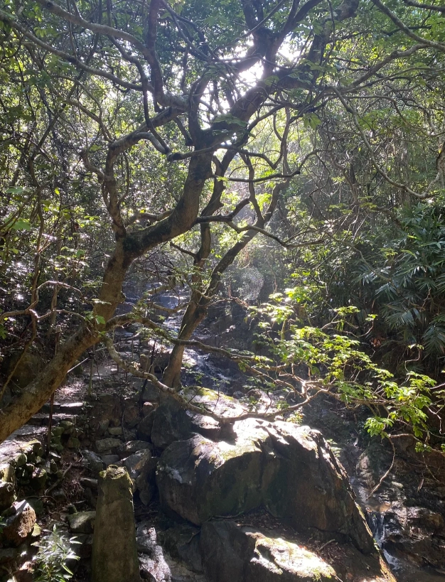
VPN reminder: You need a working VPN to use Google, WhatsApp, Instagram, etc. I use Astrill or ExpressVPN. Download it before landing. Without VPN, even booking tickets on certain sites can be tricky.
FAQs: Victoria Peak Map Questions I Get Every Week
Verified and fact‑checked by the editorial team. This content has been fact‑checked to ensure informational precision.






Hands down the best hiking map I've ever used in Hong Kong. The 'best photo spots' recommendations were spot on—got a killer shot of the skyline at sunset. Also appreciated the time estimates for each trail; they were accurate to the minute. If you're serious about exploring Victoria Peak, get this map first.
As someone who usually gets lost easily, this map saved my trip. The combo of tram routes and hiking trails is brilliant—I took the tram up, then followed the map to a quiet trail down that most tourists miss. The paper quality is nice too, withstood a bit of drizzle. Can't recommend it enough!
This map is an absolute gem! Used it to explore the Lugard Road loop and the Harold's Walk detour—every single turn was perfectly indicated. The elevation profile helped me pace myself, and I even found a hidden viewpoint that wasn't crowded. Already planning my next trip with this in hand. 10/10.
Good overall guide for the Peak. I loved the clear tram stops and the suggested photo spots. Only gripe: there were no restroom markers along the longer trails, which would've saved me some stress. Still, it made planning my day way easier than just winging it.
The map is decent but I found a few trail markings that didn't match the actual path—ended up walking an extra 20 minutes because of a missing turn. The tram route info is helpful though, and the peak views are stunning. Just wish the hiking trails were more accurately updated.