 Fang Wang
What's Inside This Guide
I’ve led over 200 groups up Yellow Mountain. And every single time, someone holds up the official map with a look of pure confusion. It’s tiny, all Chinese, and the contour lines mean nothing to most people. So I’m writing this to save you the headache.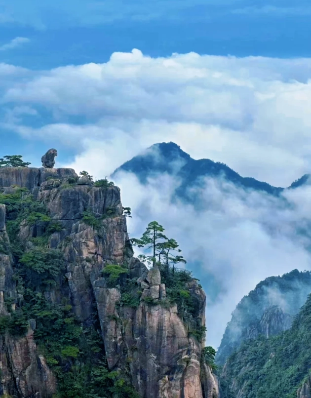
Now let me walk you through everything you need to know to navigate this massive mountain like a pro.
Why You Need a Better Yellow Mountain Map Than the Official One
The official map (folded paper, about $0.50) shows every trail but has zero English. The font is so small you need a magnifying glass. Plus, it doesn't mark real-time closures or which sections are currently under maintenance. Last month, the path from Bright Summit to Beginning-to-Believe Peak was closed for rockfall work—not on the map. I had to reroute my whole group, and we lost an hour.
So here’s what I do: I take a photo of the official map on my phone, then overlay it with my own notes. I’ll share those notes in this article. Also, download Maps.me and install the Anhui offline pack. You can drop pins on exact viewpoints.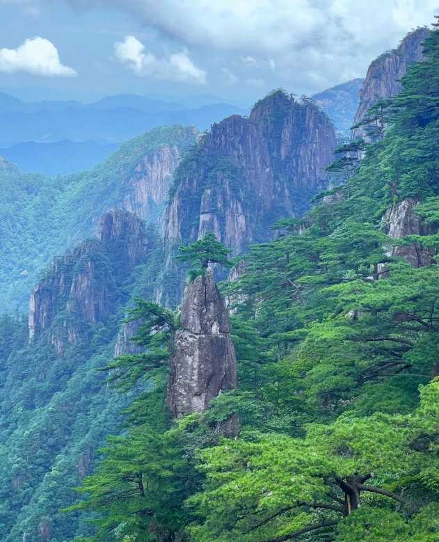
The Two Main Routes: Back vs. Front Mountain
There are only two ways to get to the summit, and they couldn’t be more different.
Back Mountain (East): Cloud Valley (Yungu) Route
This is my favorite and the one I always recommend. It’s the most scenic and least crowded in the morning. The cable car (Yungu) takes about 10 minutes. Once you exit, you’re immediately greeted by stunning granite peaks. The trail from here to Bright Summit is relatively flat—about 1.5 hours of easy walking. Perfect for warming up.
Front Mountain (South): Jade Screen (Yuping) Route
Steeper, more crowded, and you feel it in your knees. But the view of the famous “Welcoming Pine” is right at the top of the Jade Screen cable car. Use this for your descent—you won’t be going uphill, so it’s easier on the legs. Plus, you avoid the rush of people climbing up.
My rule: Back up, front down. Period. If you do the opposite, you’ll be fighting the current of selfie-stick wielding crowds all day.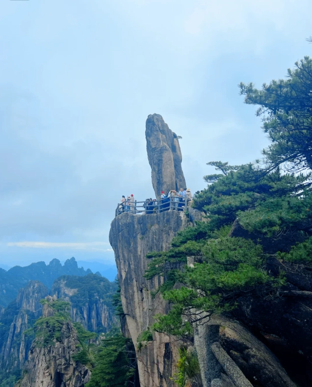
Must-Know Spots on the Map
Here are the highlights I mark on every map I give my clients.
- Bright Summit (Lotus Peak): Highest point at 1,860m. Go before 9AM or after 4PM to avoid crowds. The sunrise view is epic but everyone knows that—so bring patience.
- West Sea Grand Canyon: This is the real gem. It’s a 5km loop trail with jaw-dropping vertical drops. Most tour guides skip it because it’s time-consuming. But if you only have time for one thing, do this. Enter via the Paiyun Pavilion, and take the floor trolley back up (¥100 one way). The trolley is basically a glass elevator on rails—super fun.
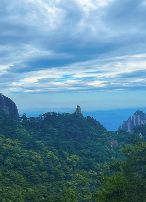
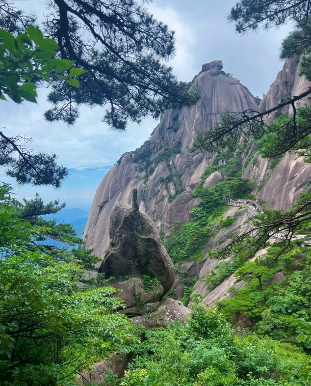
- Beginning-to-Believe Peak (Shixin Peak): A short 20-min detour from Cloud Valley station. Worth it for a postcard shot of the iconic “Monkey Gazing at the Sea” rock.
- Cloud Dispelling Pavilion: Best spot for sunset without the mosh pit of people. It’s a 10-min walk from Bright Summit hotel area. Go 30 minutes before sunset.
How to Read the Cable Car & Trolley Map
Yellow Mountain has three cable cars and one floor trolley. Here’s the cheat sheet.
| Cable Car | Route | Ticket (one way) | Running Time |
|---|---|---|---|
| Yungu (Cloud Valley) | Back Mountain up/down | ¥80 | 7:30-17:00 (summer) |
| Yuping (Jade Screen) | Front Mountain up/down | ¥90 | 7:30-17:00 (summer) |
| Taiping | North entrance | ¥80 | 7:30-16:30 |
| Floor Trolley | West Sea Grand Canyon base to top | ¥100 | 8:00-17:00 |
Pro tip: The floor trolley line often gets long in the afternoon (30-40 min wait). Go there before 11AM if possible. Also, the Taiping cable car is far from the main scenic area—only use it if you’re entering from the north gate (which I don’t recommend for first-timers).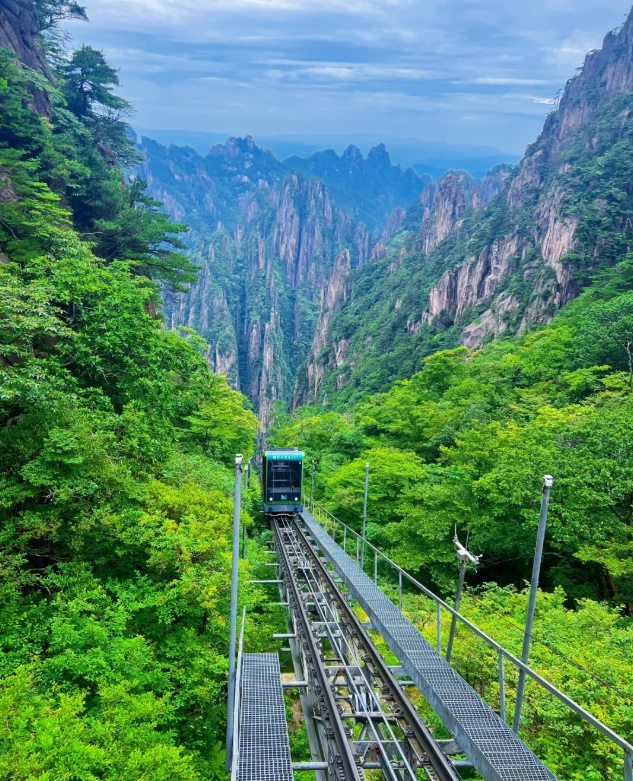
My Personal 24-Hour Itinerary Using This Map
You only have one day? Here’s exactly what I’d do if I were you.
- 5:30 AM: Leave your hotel in Tangkou town. Take the shuttle bus (¥19) directly to Cloud Valley cable car station. Arrive by 6:15.
- 6:30 AM: Be the first in line for the cable car. The gates open at 7:30 but they often let people queue earlier. I bribed the guard with a coffee once—kidding, but be polite and stand close to the gate.
- 7:40 AM: Exit cable car and walk towards Bright Summit. The trail is mostly flat. Enjoy the empty paths.
- 8:30 AM: Arrive at Bright Summit. Take photos for 15 minutes. Then head down towards West Sea Grand Canyon entrance (Paiyun Pavilion).
- 9:30 AM: Start the West Sea Grand Canyon loop. Take the floor trolley from the bottom (queue may be 20 min).
- 12:30 PM: Back at Paiyun Pavilion. Eat your packed lunch (no decent restaurants on top except overpriced instant noodles).
- 1:30 PM: Walk towards Jade Screen peak. This is a downhill section, very pleasant.
- 3:00 PM: Visit Welcoming Pine, take the obligatory photo. Then walk to Jade Screen cable car station.
- 3:30 PM: Cable car down (queue may be 15 min). Back in Tangkou by 4:30 PM.
Plan B for bad weather: If it’s raining or foggy (which happens 200 days a year), skip West Sea Grand Canyon—it becomes a whiteout. Instead, visit the Xihai Hotel’s indoor exhibition about the mountain’s geology, and go to the Cloud Dispelling Pavilion for an early hot tea. I do this often and my groups still enjoy it.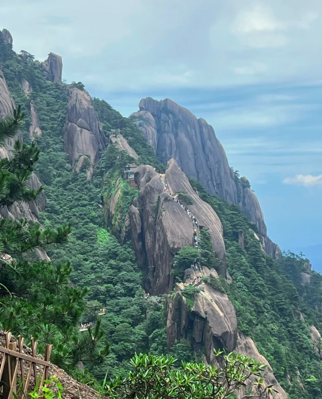
Common Mistakes First-Timers Make
- Following the map literally: The map shows trails but not the difficulty. “Fairview Path” sounds nice but it’s 600 stairs straight up. I always tell people: if the trail name has “towering” or “peak” in it, expect a thigh-burn.
- Relying on WeChat for tickets: You book via the mini-program “黄山旅游官方平台” (Huangshan Tourism Official Platform). It’s in pure Chinese. Even I struggle. Ask your hotel to pre-book for you. Or use Trip.com (English interface) but it costs ¥10 extra.
- Not carrying cash: The floor trolley ticket often only takes cash or Alipay (no WeChat). I learned this the hard way when my phone battery died. Tuck ¥200 in small bills inside your jacket.
- Forgetting the west gate: Many maps show only east and south gates. There’s a little-used west gate entry near the West Sea Grand Canyon. But it’s remote and requires a 2-hour hike just to reach the trolley. Not recommended.
FAQ: Yellow Mountain Map
This content has been fact-checked to ensure informational precision.

No comments yet.