 Jian Zhao
Quick Navigation (What's Inside)
I’ve taken dozens of groups to the Yardang National Geopark over the years. And every time, someone shows me a screenshot from a travel blog that makes the place look like a walk in the park. It’s not. The heat is brutal, the distances are deceptive, and the map you get at the entrance? Mostly useless. But here’s the thing: if you know exactly where to go and when, the “Devil’s City” (that’s the local nickname) becomes one of the most surreal landscapes you’ll ever see. Let me save you the rookie mistakes.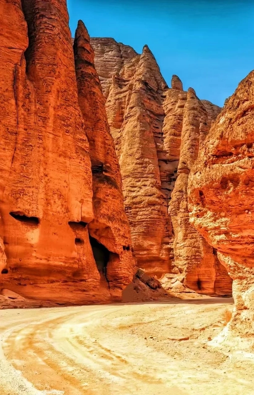
Why I’d Take You Here (and When I Wouldn’t)
Yardang Geopark is not a classic Dunhuang stop like the Mogao Caves. It’s about 180 km northwest of the city, and many tourists skip it because of the travel time. But the wind-carved clay formations—some looking like ruined castles, others like giant beasts—are absolutely worth the detour. That said, I’d only recommend it if you have at least two full days in Dunhuang. If you’re rushing, skip it: the 3-hour drive each way will exhaust you, and you’ll end up rushing through the park under the midday sun.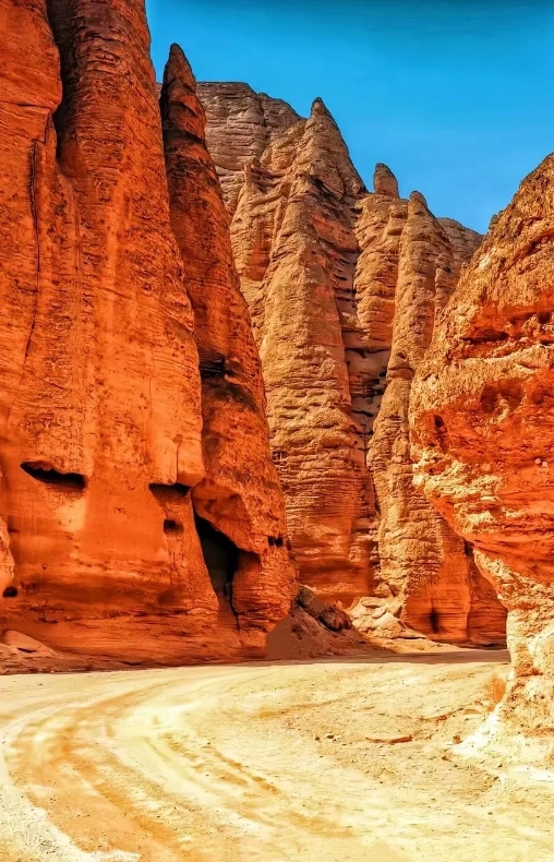
Map & Layout: Don’t Get Lost
The park is a long strip, about 10 km from the north gate to the south gate. The official map divides it into three zones: North Zone (entrance area), Central Zone (the most dramatic Yardang formations), and South Zone (quieter, with smaller formations). Most tour buses drop you at the North Gate, where a shuttle bus takes you to the main viewpoints. But here’s the catch: the shuttle only stops at four designated spots, and you can’t wander off the boardwalks. If you want to hike, you need to use the South Gate—fewer crowds and a dirt trail that loops through the formations.
| Zone | Key Features | Shuttle Access | Walking Time from Gate |
|---|---|---|---|
| North Zone | Visitor center, ticket office, main shuttle start | Yes – all shuttles depart from here | 0 min (gate) |
| Central Zone | “Devil’s City” core – tallest and most wind-sculpted rocks | Shuttle stop 1-3 | 10-15 min from gate by shuttle |
| South Zone | Less crowded, smaller formations, hiking trail | Shuttle does not go; you need a separate ticket for the hiking loop | 20 min walk from South Gate parking |
The park’s own map (given at the ticket booth) is a cartoonish drawing with no scale. Ignore it. Instead, use a GPS offline map—I recommend Maps.me with the GeoPark area saved. Most mobile networks drop in the desert. And please, don’t rely on WeChat location sharing; it’s useless out there.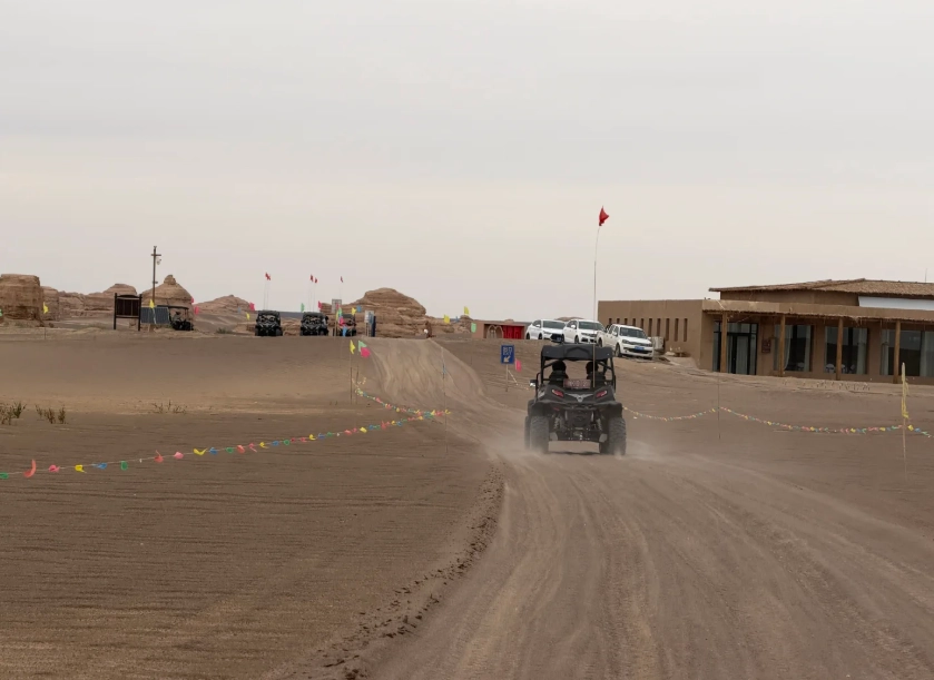
Tickets & Opening Hours – Avoid the Queue
Tickets are priced differently for the North and South gates. Most visitors buy the standard ticket (includes shuttle). But if you’re a hiker, look for the “South Gate Hiking Ticket” which costs 20 RMB less and gives you access to the loop trail. One thing: the hiking ticket is not available on all travel platforms—you often have to buy it at the South Gate ticket window in person. And the agent there may not speak English, so have your phone translator ready.
| Category | Price (RMB) | Notes |
|---|---|---|
| Adult (standard) | 80 (peak season) / 50 (off-season) | Includes shuttle; peak season Apr-Oct |
| Student / Senior (60-69) | 45 / 25 | Valid ID required; seniors 65+ free |
| South Gate Hiking | 60 / 30 | No shuttle; must walk 1 km from parking to trailhead |
| Shuttle (if bought separately) | 30 per person | Essential if you’re short on time |
Opening Hours:
Peak season (Apr-Oct): 7:00 AM – 7:00 PM (last entry at 5:00 PM)
Off-season (Nov-Mar): 8:30 AM – 5:30 PM (last entry at 4:00 PM)
The park closes early in winter—don’t arrive after 3 PM or you’ll have barely an hour.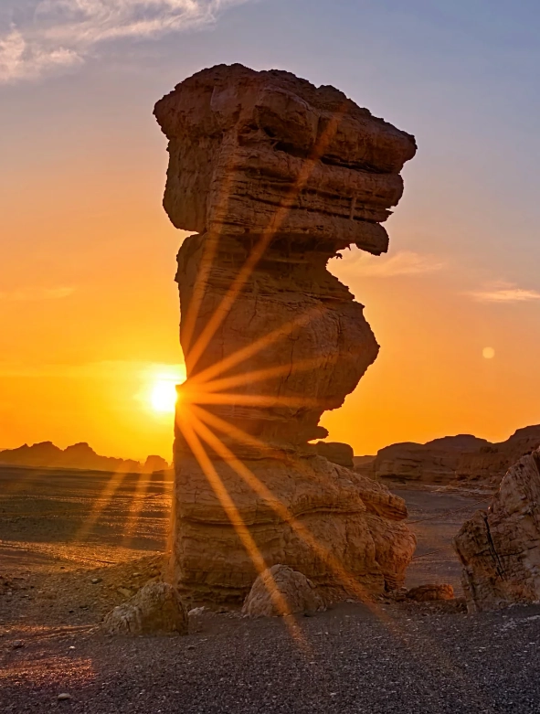
Getting There: Transport Options (Bus vs. Taxi vs. Tour)
Only one public bus goes to the Geopark—the special tour bus from Dunhuang Bus Station (near the train station). It departs at 8:30 AM and returns at 4:00 PM. Cost: 70 RMB round trip. But it stops at the North Gate only, and you have exactly 3 hours inside. That’s enough for a quick shuttle tour, not for hiking.
A private taxi from Dunhuang city center costs around 350-400 RMB for a day trip (including waiting time). You can ask the driver to take you to the South Gate if you want to hike. Many drivers don’t know the South Gate exists, so show them this map: the South Gate is about 5 km before the North Gate on the same road—look for a small sign with “越野车入口” (off-road entrance).
Alternatively, join a small group tour from Dunhuang. I run one myself: we leave at 7 AM, stop at the Jade Gate Pass on the way, and reach the Geopark by 10 AM. This timing allows you to see the empty park before the bus crowds arrive at 11. The tour costs 280 RMB per person, including pickup, water, and a local guide (me or one of my colleagues).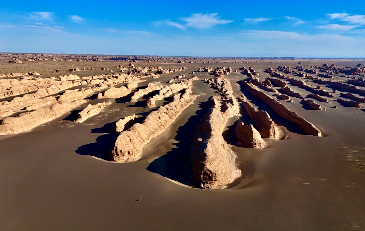
Best Time to Visit & Photography Tips
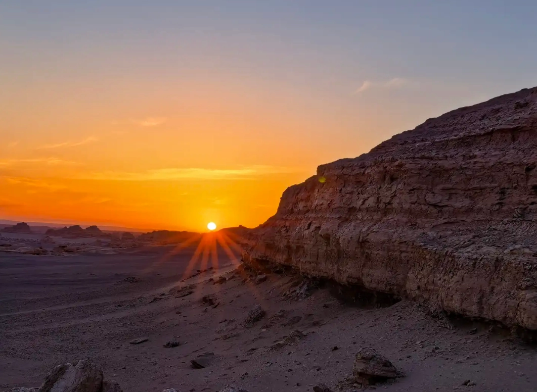
Most tour groups arrive around 10:30 AM to noon. That’s the worst time: harsh overhead light and millions of people. I always bring my groups at 8:30 AM (first shuttle) or 3:30 PM (golden hour). The light at 5 PM is incredible—the reddish clay glows. But if you stay until 6 PM, you’ll have to rush to catch the last shuttle back to the gate.
For photography, bring a wide-angle lens (16-35mm) to capture the scale. The “Devil’s City” viewpoint at shuttle stop 2 is best for sunrise shots—the rocks cast long shadows. Avoid the area near the “Turtle” rock at noon; it’s a tourist magnet and the composition is mediocre. Instead, walk 200 meters north of stop 3 to a small ridge: no one goes there, and you can frame the rock towers against the sky.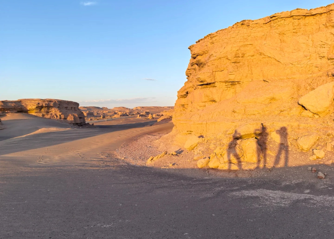
Routes & Insider Tips for an Epic Hike
If you have 4+ hours, pick the South Gate hiking loop. Here’s my recommended route:
- Start at South Gate: Park your taxi, buy the hiking ticket, and walk 1 km on a gravel path to the trailhead. You’ll pass by the “Desert Boat” formation—a long rock that looks like a ship.
- Trailhead to Central Ridge: Follow the orange markers (they’re few, so pay attention). The hike is about 3.5 km one way, taking 1.5 hours. You’ll scramble over small Yardang hills. Wear ankle-support boots—the sand can be loose.
- Central Ridge to West Rim: Once you reach the ridge, turn left (west) for another 1.2 km to a viewpoint overlooking the entire park. This spot is almost never visited by shuttle groups. I sat there once for 20 minutes in complete silence.
- Return: Loop back via the east side, which is closer to the shuttle road. Total distance: ~8 km. Bring 2 liters of water per person. There is no shade, no shop. I once saw a couple share just one 500ml bottle—they had to be rescued by a park ranger.
FAQ – Quick Answers to Your Pain Points
Verified and fact-checked by the editorial team.
No comments yet.