 Lei Li
What's Inside
Staring at the Helan Mountain Rock Engravings map for the first time — I remember doing the same. The colors blur, the labels are tiny, and half the symbols look like ancient scripts themselves. I've guided dozens of groups here, and I still laugh when I see that first confused face. So here's the no-fluff breakdown.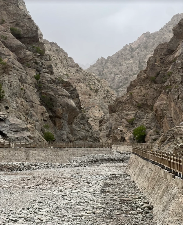
Why the Official Map Can Be Confusing (and How I Decoded It)
The park's official map is actually a carved stone layout—not a practical trail guide. The numbers on it correspond to panels, but the paths aren't drawn to scale. I always tell my guests: ignore the fancy borders. Focus on three things: the parking lot (marked P), the main boardwalk, and the three cluster indicators.
| Symbol | Meaning on Map | My Translation |
|---|---|---|
| Red star | "Must-see panels" | Exactly that. Don't skip these. |
| Green circle | Rest area with shade | Note: no drinking water there. Bring your own. |
| Blue line | Main path | Easy walk, about 2 km total. |
| Yellow triangle | Steep climb | Wear proper shoes. I've seen too many sandals fail. |
Key hack: The map says "Total route 3.5 km" but that includes the outer ring. The real core area is only 1.8 km. I typically cut through the middle—saves 30 minutes if you're in a hurry.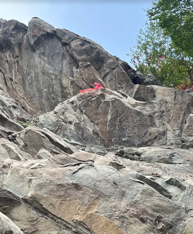
The 3 Must-See Rock Art Clusters (and How to Walk Between Them)
After 20+ visits, I've narrowed down the clusters into a non-overwhelming route. Start from the left (west), move east.
Cluster 1: Baihe Rock Art
This is the most iconic cluster. The sun chariot panel? It's right here. Best time for photos: before 10:00 AM. The morning light hits the carvings at a perfect 45° angle, making them pop. I once brought a group at 2:00 PM and they could barely see the lines. Address: Helan Mountain Rock Art Park, along the main boardwalk about 500m from the entrance. Duration: 30 minutes including reading the info board.
Cluster 2: Huabeng — The Hidden Gem
Most tourists skip this because the path looks like a dead end. It's not. Walk past the small bridge (yes, it's stable) and you'll find a dense concentration of animal figures. I always pause here—the sheep and wolf carving is my personal favorite. Time needed: 20 minutes.
Cluster 3: Ziyang Guan Overlook
This is the highest point of the walkable area. From here you get a panoramic view of the entire valley. The panels here are spread out, but the real reward is the scenery. Heads-up: The steps are uneven. I've twisted my ankle once. Take it slow.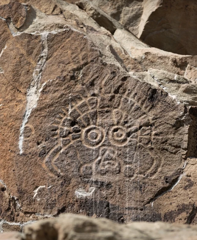
| Cluster | Key Panels | Time Needed | Best Lighting |
|---|---|---|---|
| Baihe | Sun chariot, human figures, deer | 30 min | Morning (8–10 AM) |
| Huabeng | Animals (sheep, wolf, horse) | 20 min | Any time (shaded) |
| Ziyang Guan | Scattered hunting scenes | 25 min + break | Late afternoon (4–5 PM) |
Best Time to Visit and Photography Tips
Most online guides say "go in the morning." That's half true. Here's the catch: The ticket office opens at 8:00 AM, but the sun doesn't clear the eastern ridge until 8:45. So arriving at 8:00 means you wait in line for 45 minutes. I tell my guests to arrive at 8:30 sharp.
For photography: Use a polarized lens. The rock surface reflects glare from 11 AM to 2 PM. I've ruined too many shots without it. If you're using a smartphone, zoom in at 2x—the standard wide-angle makes the carvings look flat.
Also, avoid weekends. I know that's obvious, but in China, Sundays are actually less crowded than Saturdays. Many local tour groups come on Saturday. Wednesday is the quietest.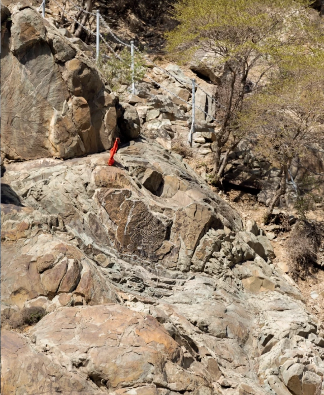
Practical Tips for Foreign Visitors
Getting there: From Yinchuan city center, it's about 50 km west. Your options:
- Taxi/DiDi: Around 120–150 RMB one way. Show the driver: 贺兰山岩画. Make sure they take you to the main entrance (not the mountain foot).
- Public Bus: Take bus route 21 from Yinchuan Bus Station to the last stop, then a minibus (8 RMB). Total time: 2 hours. Not recommended if you're tight on time.
- Private day tour: Many hotels can arrange for about 350 RMB per person including entrance.
Tickets: 70 RMB (adult), 35 RMB (students/seniors). You must pre-book via the WeChat mini-program "贺兰山岩画”. Yes, it's only in Chinese. My honest advice: Ask your hotel front desk to do it for you. I've seen foreign guests stuck at the gate because they couldn't navigate the app.
Facilities: There is one toilet at the entrance and one near Cluster 2. The entrance toilet often has a queue in the morning—I suggest using the one near Cluster 2 first thing. No ATMs on site, and only WeChat Pay/Alipay accepted at the snack stand. Bring cash just in case.
What to bring: 1.5L water per person. Sun hat. Snacks. The restaurant at the entrance is mediocre—I skip it.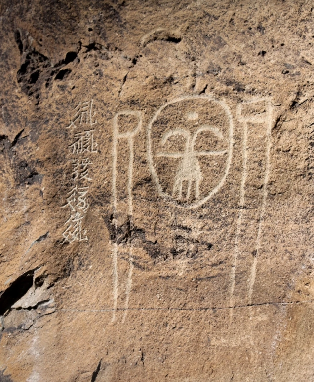
What Nearby Attractions to Combine?
Helan Mountain Rock Engravings are usually paired with the Western Xia Imperial Tombs, about 20 km southeast. You can do both in one day, but I'd start with the tombs (they open at 8:00) and visit the engravings after lunch. The reverse order also works—just avoid doing both in the afternoon sun.
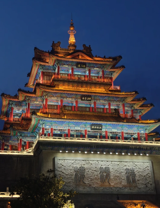
If you have a third day, check out the Yinchuan city attractions: the Nanguan Mosque or the Ningxia Museum (free, good AC for summer).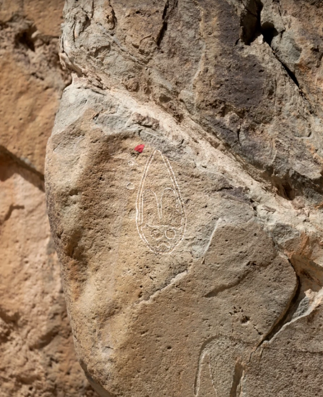





If you only have one day at Helan Mountain, get this map. Period. I’m not usually one to read guides, but the way it breaks down the different ‘galleries’ by difficulty level saved me so much time. I managed to see 14 petroglyph clusters in under 6 hours, including the elusive spiral motif that’s only visible in late afternoon light. The author clearly knows the terrain inside out. Best $8 I ever spent on a map.
I bought this map on a whim before my trip to Ningxia, and it made the entire experience unforgettable. The navigation tips are so practical—things like ‘look for the white rock pile near the stream’ actually helped me find panels that weren’t marked on any tourist board. My kids loved the little quizzes embedded in the margins too. Highly recommend for families who want a mix of adventure and learning.
This map is an absolute treasure! I’ve been visiting petroglyph sites across China for years, and this is the most thoughtfully designed guide I’ve ever used. The symbols are color-coded to show different time periods, and the walking routes are perfectly paced for a full day of exploration. Standing in front of the thousand-year-old deer carving while reading the story behind it gave me chills. 5 stars without hesitation!
A solid resource if you’re planning a self-guided tour of Helan Mountain. The map gives a good overview of the major rock art clusters, and the historical context in the text is fascinating. My only complaint is that the print version is a bit small for outdoor use—I had to keep zooming in on my phone. Still, it helped me spot the famous horse-and-rider glyph that I would have missed otherwise. Worth picking up.
Honestly, I was expecting a bit more from this map guide. The illustrations of the petroglyphs are clear enough, but the explanations on how to actually navigate to each site on the mountain are vague. I spent almost an hour trying to find the 'Sun God' carving and ended up just guessing. For a paid digital download, it should include GPS coordinates or clearer trail markers. Not awful, but definitely room for improvement.