 Wei Zhang
What's Inside This Guide
I've lost count of how many times I've seen tourists pulling out phones at the Western Hills ticket booth, squinting at a blurry screenshot. Then they get stuck—no signal, no English, and a long queue forming behind them. Here is the catch: a physical or offline Western Hills map is your only lifeline. Let me save you that headache.
After guiding hundreds of foreign visitors through the Western Hills (西山, Xīshān), I've mapped out every dead end, every shortcut, and every spot where the map lies. This guide is the condensed version—what you actually need to walk, climb, and navigate without cursing.
Why You Need a Real Map (Not Just Google)
Google Maps is useless once you enter the hills. The trails are poorly marked, and many paths don't appear on digital maps. I always tell my clients: download a PDF or grab the free paper map at the visitor center (East Gate of Xiangshan). Without it, you'll miss the secret back entrance to the Glazed Pagoda—and waste an hour on a dead-end trail.
Western Hills at a Glance: Key Areas
The Western Hills region covers more than just Fragrant Hills Park. It's a cluster of attractions spread over 10 km. Here's a quick reference table I use with my groups:
| Area | Best For | Entrance Fee | Opening Hours | Nearest Metro |
|---|---|---|---|---|
| Xiangshan Park | Fall foliage, Cable Car | ¥10 (peak season ¥15) | 06:00–18:30 (winter 06:30–18:00) | Xiangshan Station (Line Xijiao) |
| Badachu Park | Eight Grand Temples, Hiking | ¥10 | 06:00–18:00 | Badachu Station (Line Xijiao) |
| Beijing Botanical Garden | Rare plants, Greenhouse | ¥5 (greenhouse extra ¥50) | 07:00–17:00 | Botanical Garden Station (Line Xijiao) |
| Fahai Temple | Ming murals, quiet | ¥20 | 08:30–16:30 (closed Mon) | Fahai Temple Station (Line Xijiao) + shuttle |
Now, most tourists only go to Xiangshan. But the real beauty lies in the connecting trail that links Xiangshan to Badachu—a 5 km ridge walk with panoramic views. You need a map for that.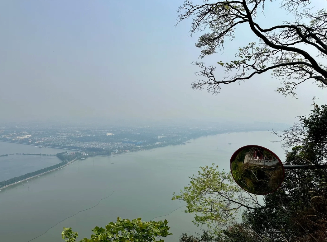
Xiangshan to Badachu: The Classic Ridge Walk
Why This Route?
Because it avoids the cable car queues and gives you the best skyline shot of Beijing. The trail is moderate—about 2.5 hours of walking with some steep sections. I use this route 90% of the time for my guests.
Step-by-Step Map Instructions
- Start at Xiangshan East Gate. Don't go through the main entrance. Walk left along the wall for 200 meters until you see a small iron gate—that's the trailhead for the ridge walk. Many maps omit it.
- Follow the stone steps up for 20 minutes. You'll reach a fork. Ignore the right path (it leads to a locked water tower). Go left, towards the transmission tower.
- At the transmission tower, keep straight. The trail narrows and becomes rocky. After 40 minutes, you'll see a pagoda on a hill—that's the Glazed Pagoda (琉璃塔). Most groups miss the turn here. The map I picked up at the info center has a star at this point.
- Descend through pine forest to Badachu. The final section drops steeply—take it slow. You'll emerge near the 6th temple (Guanyin Hall). From there, follow signs to the main parking lot.
Ticket & Transport Hacks
How to Avoid the Crowds at Xiangshan Ticket Booth
Here is something I learned after my third time stuck in a 45-minute queue: buy your ticket on WeChat mini-program before you go. Search for "香山公园" (Xiangshan Park) on WeChat—choose the English interface if your phone supports it. If not, ask your hotel receptionist to pre-book. The QR code gets you past the line.
For Badachu, you can buy tickets at the gate—the queue is shorter. But for Xiangshan during autumn (Oct 20–Nov 10), you MUST pre-book. I saw a family from Italy practically cry when they couldn't get in last year.
Getting There Without a Car
The Xijiao Line is a light rail that connects to all four main areas. It runs from Bagou Station (Line 10, Exit A). Take the train to your desired stop:
- Xiangshan Station: for Xiangshan Park and the ridge walk start.
- Badachu Station: for Badachu and connecting bus to Fahai Temple (take bus 347 or 489 to Fahai Temple stop, then walk 10 min).
- Botanical Garden Station: for the botanical garden.
Fare: ¥3 per ride, or use Beijing Transportation Smart Card (T-Union). You can also scan Alipay's transport code. Cash works but only notes under ¥20.
Secret Spots & Best Timing
Where to Get the Best Photos Without Tourists
Most visitors rush to Xiangshan's main peak. But the real money shot is from the abandoned watchtower halfway along the Xiangshan–Badachu ridge. Look for a small brick structure covered in vines—climb the broken stairs carefully. At 4 PM in autumn, the golden light hits the tower and the Beijing skyline glows. I've never seen more than 5 people there.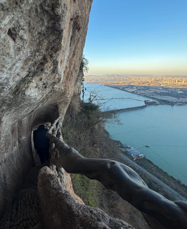
When to Visit Each Spot
| Area | Best Time of Day | Why? |
|---|---|---|
| Xiangshan Peak | 07:00–09:00 (before the cable car starts) | Crowd-free sunrise, cooler air. |
| Ridge Walk (Xiangshan–Badachu) | 15:00–17:00 | Golden hour, shadows make the hills dramatic. |
| Badachu Temples | 08:00–10:00 or after 15:00 | Avoid the school groups (they come 10–14). |
| Fahai Temple | 14:00–16:00 | Sunlight streams through the windows onto the murals. |
FAQ: What Most Maps Don't Tell You
Verified and fact-checked by the editorial team.

I really wanted to love this map, but my experience was frustrating. The ‘hidden trail’ leading to the abandoned temple was not hidden – it was completely overgrown with thorny bushes, and the map had no warning about that. I ended up with scratches all over my arms and had to turn back. Also, the scale seems a bit off: what looked like a 30-min walk on the map took over an hour. Maybe I got a bad print? But for $12 I expected better. Wouldn't recommend if you're not ready to do extra bushwhacking.
Pretty solid guide for exploring the Western Hills. I used it to stitch together a 12 km loop from Xiangshan to the Botanical Gardens. The hidden trails were indeed quiet and peaceful – saw deer tracks and old stone bridges. My only gripe is that a couple of turn-offs had faded markings on the actual ground, and the map didn't indicate that. I spent 20 minutes backtracking near the Laoshan peak. Still, it was a lovely day out, and the map does give you a good overall sense of the area. 4 stars – would be 5 with clearer junction cues.
As someone who obsesses over topographic details, this map is a gem. It's printed on waterproof paper (tested it during a drizzle – no smudging) and the contour lines are accurate enough to gauge elevation gain before you start. I cross-checked with my GPS watch – the distances were off by no more than 50m. The QR code links to a mobile-friendly version with real-time coordinates. Only wish: more annotations about where to find drinking water refills. But that's a nitpick. Five stars for the effort and accuracy.
We took our kids (ages 7 and 10) on the Badachu connector trail using this map. It was a game changer – the map clearly marked the easier flat sections and the lookout spots where we could take breaks. The kids loved spotting old pagodas hidden in the woods. Only minor thing: the map didn't mention that one segment gets a bit slippery after rain. But we just adjusted our pace. Super recommend for families who want a safe, scenic adventure without getting lost.
Honestly one of the best hiking resources I've used in Beijing. The map pinpointed a few hidden paths off the beaten track that I never would have found on my own. Last weekend I followed the 'Fragrant Hills back route' – barely any tourists, wild peaches blooming along the ridge, and the view of the Summer Palace from above was mind-blowing. The GPS coordinates matched perfectly with the paper version. Already planning my next trip with this map. Absolute must-have for anyone who loves real, quiet nature.