 Chen Liu
Quick Lookup
Let me paint a picture: a muggy July afternoon, a family from Spain clutching a paper map they grabbed at the hotel, completely lost near Tingtao Scenic Area. I've seen this scene at least 50 times. East Lake is massive—88 square kilometers of water, hills, and winding paths. Without a proper East Lake Scenic Area map, you're either going in circles or missing the good stuff.
Here's the deal: I've been guiding tours here for 8 years. The official map? It's okay, but it leaves out the shortcuts and the real gems. This guide is my personal overlay—the map you wish you had. No fluff, just what works.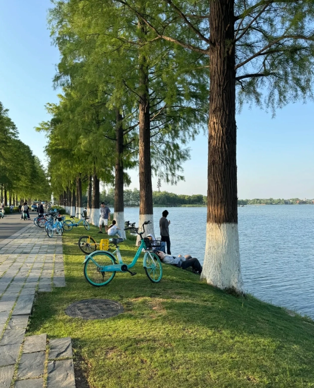
Why You Need a Map (and Which One)
East Lake isn't one single park. It's four main scenic regions—Tingtao, Moshan, Luoyan, and Chuidi—plus the new East Lake Greenway that connects them all. Most tourists stick to Tingtao because it's free and closest to the city center. But if you only see Tingtao, you're missing 80% of the beauty.
I always tell my groups: download the "East Lake Greenway" app (it's in Chinese but the map is visual enough). There's also a bilingual PDF from the official Wuhan government tourism site. But honestly, the digital map on your phone with GPS is your best bet. The paper ones at ticket booths are often outdated.
Main Gates & Where to Enter
There are over a dozen entry points, but I'm going to simplify it for you. Here are the three gates you actually care about:
| Gate Name | Best For | Nearest Metro | My Note |
|---|---|---|---|
| Li Yuan (Pear Garden) Gate | Quick access to Tingtao & the popular lakeside path | Line 8, Liyuan Station, Exit A — then 10-min walk | Most crowded after 10 AM. Come before 8 AM if you want photos without strangers. |
| Moshan Gate | Hiking up Moshan Hill for panoramic views | No metro — take bus 401 or 402 to Moshan stop | My personal favorite — fewer tourists, better scenery. The hill is steep but the view is worth the sweat. |
| Luoyan East Gate | Starting point for the longest Greenway section (28 km) | Line 2, Optics Valley Square, then taxi (about 20 yuan) | If you're serious about cycling, start here. The path is wide and smooth. |
Must-See Spots on the Map
Instead of listing every dot on the map, let me tell you the three spots I never skip — and why.
1. Tingtao Scenic Area (Listen to the Waves)
This is the classic one: pavilions, willows, and the lake up close. But here's the catch: the main path is shoulder-to-shoulder on weekends. I take my groups through a side path behind the bamboo grove. Look for a small stone bridge near the Changtian Tower — it leads to a quiet waterfront bench with zero crowds. Best time: 7 AM to 9 AM. After that, the tour groups arrive.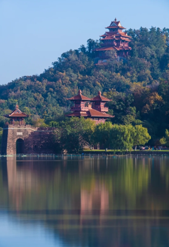
2. Moshan Hill (Grindstone Hill)
Yes, it's a climb. 240 steps, roughly 15 minutes if you're fit. But at the top, you get a full 360° view of the lake. The map shows the Zhu De Pavilion as the peak — it's not. Walk another 50 meters past the pavilion to an open rock. That's where I take my photos. Admission: 60 yuan (adults), 30 yuan (students). No online booking needed; just buy at the gate. They accept WeChat Pay and Alipay, but cash works too.
3. Luoyan Scenic Area (Falling Wild Geese)
Less developed, more natural. The map labels it as "Luoyan Island" but it's not an island — it's a peninsula. I love it for the wildflowers in spring and the quiet lakeside boardwalk. There's a small pagoda that's perfect for sunset. Getting there: From Moshan, it's a 3-km walk along the Greenway. Or rent a bike at the Moshan exit.
⏰ Timing hack: Most visitors start at Tingtao and then move clockwise. Go counterclockwise! Start at Luoyan, then Moshan, end at Tingtao. You'll be ahead of the crowd at every spot.
Bike Route for Max Coverage
East Lake Greenway is 102 km total. The most scenic 28-km loop is from Liyuan Gate -> Moshan -> Luoyan -> back. I've timed it: if you bike non-stop, it's about 2 hours. But you'll want to stop. Here's my recommended bike map:
- Start: Rent a bike at Liyuan Gate (there's a HelloBike station — 2 yuan per 30 min, scan with Alipay).
- First stop: Tingtao Pier — take a quick photo of the lake (5 min).
- Second: Moshan base — lock your bike at the foot, climb the hill, come back (45 min total).
- Third: Luoyan boardwalk — bike slowly along the water to the pagoda (20 min).
- Return: Follow the Greenway back. The last 5 km before Liyuan Gate have a slight uphill — don't race, just enjoy the breeze.
If you don't have Alipay, you can rent a bike from the tourist center at Liyuan Gate with a deposit (100 yuan cash or passport). But honestly, the app is easier.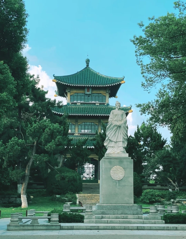
Hidden Gems Off the Main Path
The official East Lake Scenic Area map won't show these — they're my secret spots after years of exploring:
- Cherry Blossom Valley (behind Moshan): Not on the map, but if you follow the signs to "Yinghuayuan" (Chinese: 樱花园) from Moshan parking lot, you'll find a small grove with 500 cherry trees. Free in non-blossom season (most of the year), 60 yuan during late March-early April. No crowds because most people go to Wuhan University instead.
- The Abandoned Observation Deck: Near the east side of Luoyan, there's an old concrete platform with a broken railing. The map marks it as "under renovation" but it's been like that for 3 years. Go at your own risk — but the sunset view from there is unmatched. Insider tip: Bring mosquito repellent. I learned that the hard way.
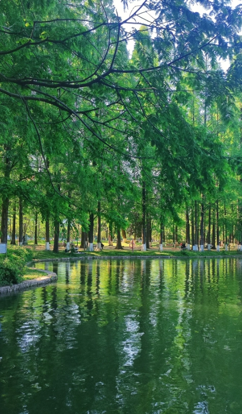
- Tea House #3 (Chuidi area): Not a real tea house anymore, but an open wooden pavilion overlooking a lotus pond. It's marked on the map as a "scenic rest point" but vaguely. Look for it when you're near the Chuidi Gate. I always pack a thermos of tea and sit here for 20 minutes. Total silence — except for the birds.
Practical Info: Tickets & Hours
| Area | Opening Hours | Ticket Price (Adult) | Notes |
|---|---|---|---|
| Tingtao | 7:00 - 22:00 (last entry 21:00) | Free | No reservation needed |
| Moshan | 8:00 - 17:30 (last entry 16:30) | 60 yuan | Buy at gate; no online pre-booking required |
| Luoyan | 8:30 - 17:00 (last entry 16:00) | 30 yuan | Cash or WeChat/Alipay; no international cards |
| Chuidi | 7:00 - 19:00 | Free | Mostly trail, not many facilities |
A word on payments: Every ticket booth accepts WeChat Pay and Alipay. International credit cards? Forget it. Bring cash — at least 200 yuan in small bills for bike rentals and snacks. Some vendors near Tingtao accept Alipay, but the small ones only take cash.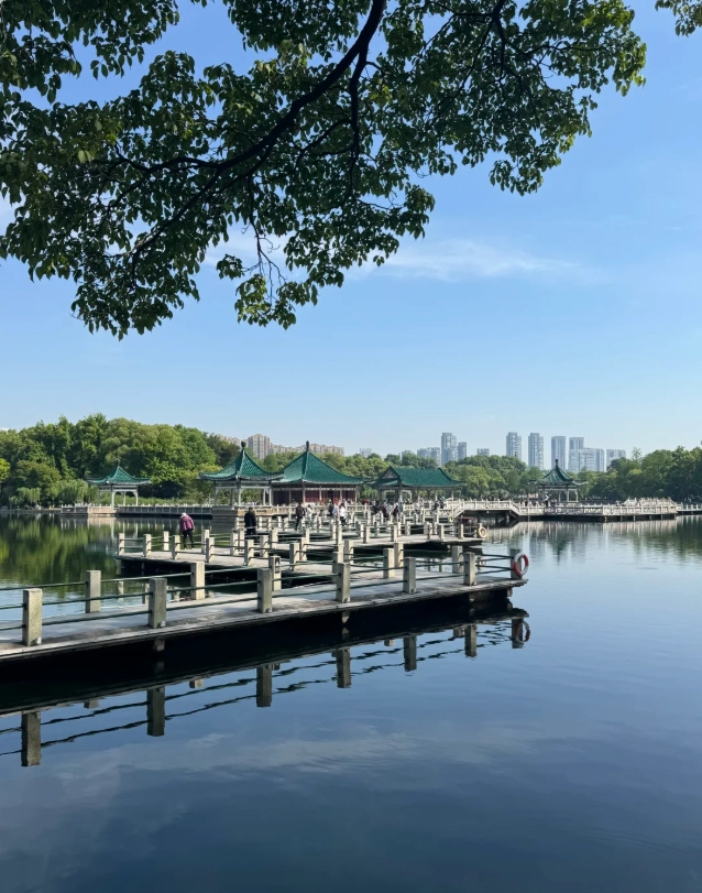
FAQ: What Other Guides Don't Tell You
Verified and fact-checked by the editorial team.
Brought this map on a family cycling trip around East Lake and it was a lifesaver. The bike path markings are accurate, and we found a quiet picnic spot near the lotus pond that wasn't on Google Maps at all. The waterproof coating survived a light drizzle too. My kids loved the mini bird illustration guide!
Literally couldn't have navigated the lake without this map. The print is clear, the scenic spots are all numbered with brief descriptions, and there's even a small legend for restrooms and first-aid points. As a solo traveler I felt so confident exploring the east and west shores. Perfect companion!
This map is an absolute gem! I've been to East Lake three times now and always grab one. The little 'local tips' on the back (like which noodle shop opens earliest and where to rent a bike without queues) saved our morning. Folded nicely into my pocket too. 10/10 recommend.
Pretty good map for getting around East Lake! The paper quality is nice, and the ferry stops are clearly marked. Only reason I'm not giving a 5 is that the walking times seem a bit optimistic—my group is average fitness and we took almost 20% longer. Still, super helpful overall.
Honestly, the map itself is fine—decent detail, easy to fold. But I wish it highlighted the less crowded trails more clearly. We ended up on the main loop with everyone else, and it was pretty noisy. For a free map it's okay, but don't expect insider secrets.