 Fang Wang
What's Inside This Guide
First time climbing Elephant Mountain? I've been guiding here for years, and I still see people show up in flip-flops, no water, and a phone at 5% battery. Let me save you the trouble. This isn't just a map—it's the stuff I wish someone told me before my first time.
Here's the catch: the trail isn't hard, but it's steeper than you think. And the mosquitoes? They love tourists. But the view of Taipei 101 from the top? Worth every drop of sweat. Stick with me, and I'll show you exactly how to get there, which path to take, and how to avoid the crowds.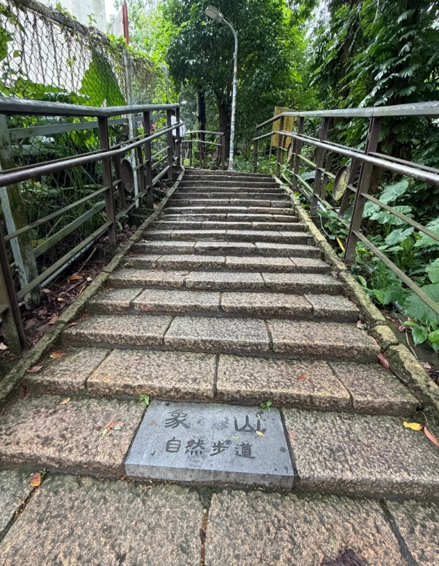
The Real Starting Point – Don't Trust Google Maps Blindly
Google Maps will drop you at “Elephant Mountain Trail Entrance” on Xiangxiang Road. That works, but there's a better way. Tell your taxi driver to go to the base of the Xiangshan Park (象山公園) entrance on Lane 150, Songren Road. Why? Because that shortcut shaves off 10 minutes of dull road walking and lands you right at the stairs.
If you're taking the MRT, get off at Taipei 101/World Trade Center Station (R04), take Exit 2, and walk east for about 8 minutes. You'll see a 7-Eleven at the corner – grab water and mosquito repellent there. Trust me, you'll need both.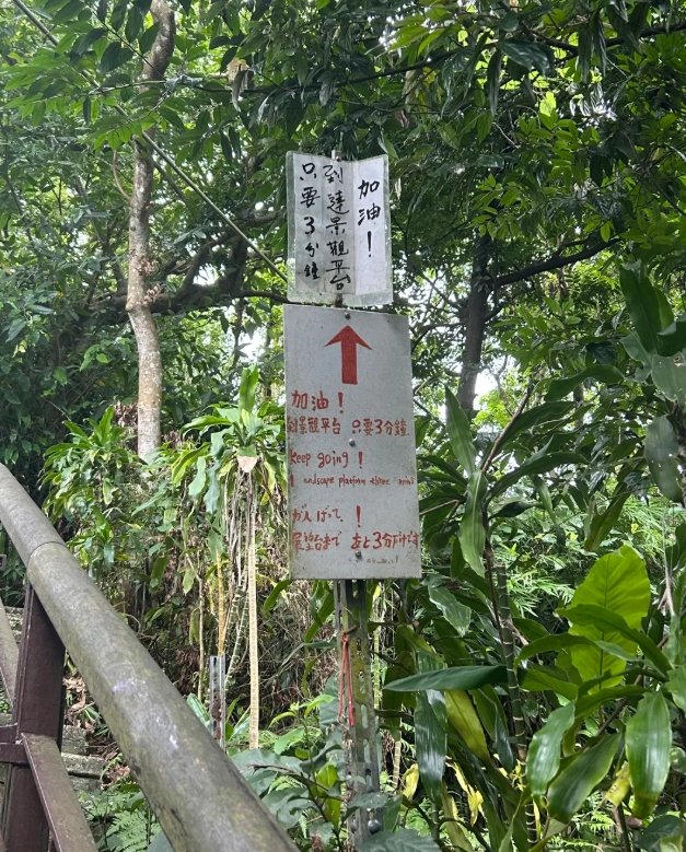
Route Breakdown: Which Path to Take
Elephant Mountain has a main trail and a few less crowded side paths. The main trail is paved with stone steps – basically a long staircase through the jungle. It's straightforward but you have options.
Main Trail (The Classic Route)
Starts at the official entrance. You'll climb steep stairs for 15-20 minutes until you reach the first viewing platform. Most people stop here. Don't. The next two platforms are less crowded and offer better angles.
Side Trail to Zhiqiang Temple
About halfway up, you'll see a sign pointing to Zhiqiang Temple. This path is narrower, shadier, and nearly empty on weekdays. It leads to a small temple with a peaceful courtyard. From there you can loop back to the main trail. I love this route for a quieter vibe.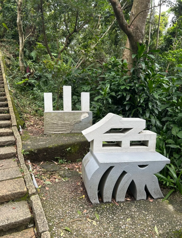
Continue to the Very Top (The Actual Summit)
Most people turn back after the second platform. But if you're up for 10 more minutes, follow the trail further up past the big rocks. You'll find a flat area with a bench – the true summit. On clear days you can see all the way to the mountains. Also, this is where the Instagram-worthy shots with zero strangers happen.
| Route | Time from Entrance | Difficulty | Crowd Level |
|---|---|---|---|
| Main Trail (1st platform) | 15 min | Moderate | High |
| Main Trail (2nd platform) | 20 min | Moderate | Medium |
| Side trail + loop | 30 min | Moderate-Hard | Low |
| Summit (full trail) | 35 min | Hard | Very Low |
Time & Difficulty – Be Honest With Yourself
The entire round trip, if you go all the way up and down with photo stops, takes about 1.5 to 2 hours. If you're just doing the first platform, 45 minutes.
The stairs are the killer. It's basically 500+ steps at a steep incline. I've had fit friends complain about their calves the next day. There are handrails, but a good pair of sneakers is essential. Flip-flops? Please don't. I've seen too many twisted ankles.
Also, it gets hot and humid. Even in winter, you'll sweat. Bring at least 500ml of water. There's no water fountain on the trail.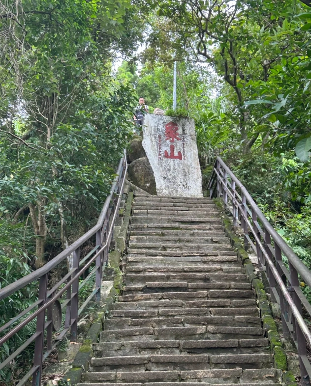
When to Go for the Best Experience
The absolute best time is 4:00 PM to 4:30 PM start time. You'll hike up while it's still light, catch the sunset from the top around 5:15 PM (depending on season), then watch Taipei 101 light up as darkness falls. It's magical.
Morning hikes are nice too, but the city is often hazy. Avoid noon to 2 PM unless you enjoy sizzling in the sun. And avoid weekends if you can – Saturday evenings the platforms get packed with tourists and local families. Tuesday or Wednesday afternoons are my favorite.
Photo Spots That Actually Work
Everyone wants a photo with Taipei 101. Here's the pro-level advice:
- Second platform: Best for classic 101 shot with the city skyline. Come here first, then move up.
- Side platform near the big rock: A few meters off the main trail, there's a flat rock. Climb on it (carefully) and your friend can shoot you with 101 behind. Zero people.
- Summit bench: Perfect for golden hour portraits. The light filters through the trees.
One thing that drives me crazy: many tourists stand right in the middle of the steps to take selfies, blocking everyone. Please step to the side. And don't use flash – it ruins the mood and annoys other hikers.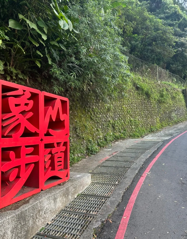
Quick Answers to Annoying Questions
Verified and fact-checked by the editorial team.
Hands down the best free hiking map I've found for Taipei. Not only did it show the main trail, but it also pointed out a quieter side path that had amazing views without the crowds. The advice on which metro exit to take was clutch – saved me 10 minutes of wandering. I've already shared it with three friends visiting next month!
I downloaded this before my trip and it served me well. The map is clear enough, and I appreciated the safety tips about bringing water and watching for slippery steps after rain. My only minor complaint is that the text is a little wordy – I wish there were more visual callouts or icons. Still, a solid 4-star experience for a free guide.
This guide was exactly what I needed! I was nervous about navigating the trail alone, but the step-by-step instructions (with landmarks like the big rock and the temple) made it foolproof. The sunrise timing tips were perfect – I got to the top right as the city lit up. 10/10 would use again for other Taipei hikes.
Pretty good overview, but I felt the map itself was a bit too simplified. The article mentions 'alternate routes' but doesn't show them clearly, and I ended up taking a wrong turn because of that. Also, it would be better if the estimated time included rest breaks. Not bad, but could be more detailed for serious hikers.
I used this map guide for my first time hiking Elephant Mountain and honestly, it saved me a lot of confusion. The directions to the trailhead were spot-on, and the recommended photo spots were exactly where I wanted to stop. Only thing missing was maybe a little note about how steep the stairs get – my legs were burning! Still, a really solid resource for anyone new to Taipei.