 Fang Wang
What's Inside
I’ve lost count how many times tourists show up at Elephant Mountain entrance with zero idea where the famous rock is. They wander the wrong path, miss sunset, and end up with blurry photos. That’s why a proper Elephant Mountain map isn’t just helpful — it’s your only chance to beat the crowds and get that postcard shot.
Let me save you the headache. Here’s everything I’ve learned from leading dozens of hikes here.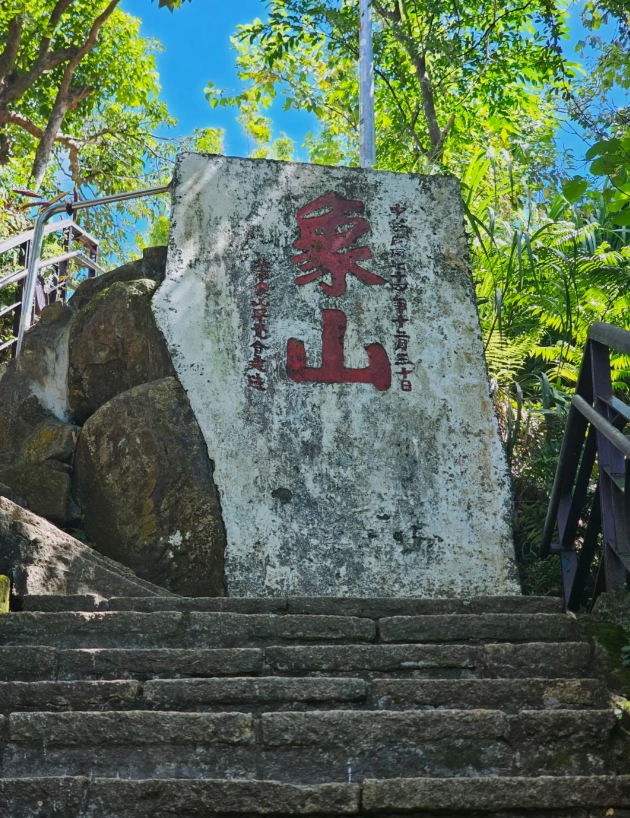
Why Every Hiker Needs an Elephant Mountain Map
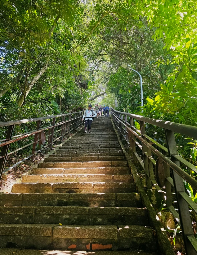
The trail looks simple on paper — a 1.5 km loop, 600-ish steps. But the fork junctions are poorly signposted in English. Without a map, you might end up at a dead-end viewing deck while the real gem (the iconic rock) is 50 meters away. I once had a couple spend 40 minutes circling the wrong ridge. Don’t be them.
How to Read the Elephant Mountain Trail Map
The official map (available at the trailhead info board) uses color-coded routes: red for the main stone steps, blue for the dirt path extension, and green for the connecting trail to Tiger Mountain. Here’s what those colors actually mean for your legs:
| Color | Route Name | Difficulty | Time | Best for |
|---|---|---|---|---|
| Red | Main Steps | Moderate (steep stairs) | 15–20 min up | Quick sunset dash |
| Blue | Dirt Loop | Easy (gentle slope) | 30 min round | Families, avoiding stairs |
| Green | Tiger Mountain Connector | Hard (long ridge) | 1 hour one way | Extended hike with panoramic views |
Notice the map marks three numbered photography platforms (1, 2, 3). Most tourists stop at Platform 1 because it’s the first you hit. Big mistake. Platform 3 offers the best foreground rock. I always tell my groups: “Suffer a few more steps — the payoff is worth it.”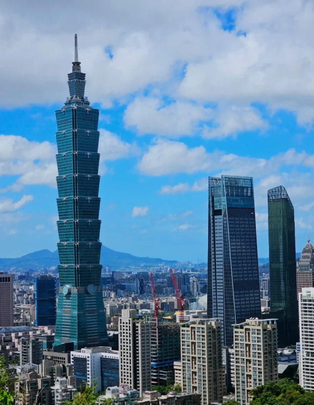
Key Spots Marked on the Elephant Mountain Map
The Photography Platforms
Platform 1 (the closest) is often packed with selfie sticks. Platform 2 is slightly higher but has a tree blocking the left side. Platform 3 is my go-to: you can climb onto the huge boulder (be careful — it’s smooth!) and frame Taipei 101 perfectly. The map labels it “Rock Viewing Area”.
The Six Giant Rocks
If your map shows six circled rocks near the top, that’s the “Six Giant Rocks” formation. Each rock has a different angle. Rock #4 is the most photogenic at golden hour. But most people miss it because the path to it is hidden behind a bush. Look for a small gap in the fence near the “Danger” sign (it’s safe, just narrow).
Best Time to Use the Elephant Mountain Map
Sunset (4:30–5:30 PM depending on season) is the most popular. But the map will show you that the trail gets completely clogged between 4 and 6 PM. I recommend two windows:
- Early bird (6:30–8 AM): Trails empty, sunrise light hits Taipei 101 directly, and you’ll have platforms to yourself. The map’s red route takes only 12 minutes if you’re fit.
- Late night (9 PM–midnight): City lights are stunning. The trail has dim lighting, so bring a headlamp. The map won’t help with darkness, but use GPS.
Common Mistakes When Using the Elephant Mountain Map
1. Trusting the “Exit” marker. The map shows a trailhead exit near the top — that’s actually a dead-end to a temple. You have to backtrack. I’ve seen groups follow it and lose 20 minutes.
2. Ignoring the elevation contour lines. The map has contour lines but many people skip them. The steepest section is between step 300 and 400 — if you’re out of breath, take the blue detour.
3. Not marking the restroom. The only public toilet is at the base of the trail (near the entrance). Once you’re on the steps, there’s nothing. The map shows a small “WC” icon — use it before you climb.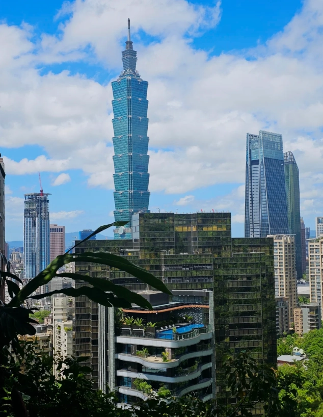
Frequently Asked Questions about Elephant Mountain Map
Verified and fact-checked by the editorial team.





Honestly was a bit disappointed. We followed one of the 'secret' viewpoints the map recommended, but it turned out to be partially blocked by bushes and still had a handful of people there. The main lookout was impossible to avoid on the way back, too. Maybe I expected too much, but for me it didn't really deliver on the ‘avoid crowds’ promise.
Good map overall and it did help us avoid the worst of the crowds on the main trail. However, a couple of the side paths weren’t marked very clearly on the map, and we ended up taking a wrong turn that cost us about 15 minutes. Still got some nice views, but I wish the trail details were a bit more precise.
As a landscape photographer, crowds are my enemy. This map helped me find three different vantage points that most people miss. My favorite was the one near the big rock — zero people and perfect for long exposures. The map is super clear and easy to follow even in the dark. Five stars all the way.
I’ve done Elephant Mountain three times before and always ended up in the jams at the main lookout. This map changed everything. The alternate route it showed led us to a less crowded spot with an even better angle of the city. Took about 10 extra minutes but totally worth it. Will use this every time I visit.
This map was a lifesaver! I went at 6am and followed the 'back entrance' trail it suggested — literally had the entire upper viewing platform to myself while the main steps were already swarming with tourists. The sunrise over Taipei 101 was unreal. Highly recommend downloading this before you go if you hate crowds like me.