 Ling Wu
Staring at the wrong map online and ending up at the wrong riverbank—I've seen it happen a dozen times. In my 7 years guiding groups around Wuhan, the number one frustration for foreign visitors is figuring out where exactly the Wuhan Yangtze River Bridge is and how to actually cross it without wasting half a day. So I'll cut the fluff: this guide gives you the real map, the exact metro exit, the ticket trick that saves you 15 minutes, and the single best hour to be on the bridge (hint: it's not noon).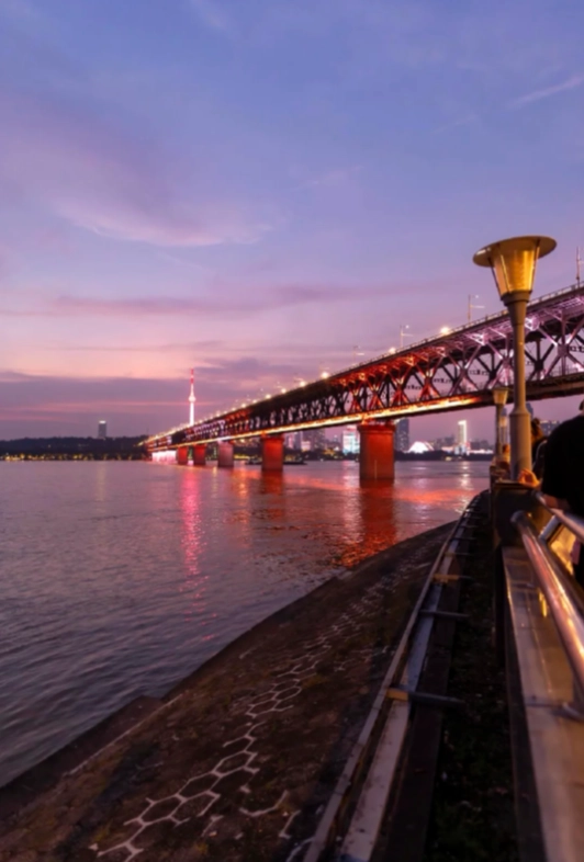
Why This Bridge Matters
The Wuhan Yangtze River Bridge isn't just a bridge—it's the first bridge ever built across the Yangtze River, completed in 1957. It's a symbol of China's engineering history and a stunning piece of architecture. But for tourists? It's the best place to get a panoramic view of both the Yangtze and the city skyline, especially at sunset. I always tell my groups: skip the overpriced observation decks in skyscrapers; this bridge is free (almost) and gives you a real sense of Wuhan.
Where Exactly Is It?
Let me pin it down for you. The bridge connects Hanyang District (north bank) to Wuchang District (south bank). The exact coordinates are roughly 30.5417° N, 114.2863° E. But here's what matters: the pedestrian walkway is on both sides of the bridge, but the south side entrance (near the Yellow Crane Tower) is where most people start. Don't bother with the north side—it's a longer walk to any metro station.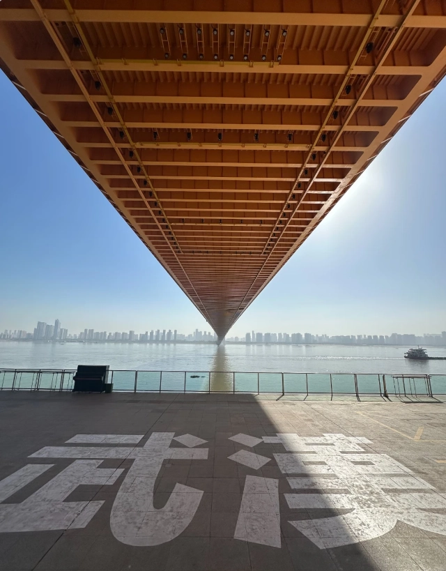
How to Get There (Subway, Bus, Taxi)
| Transport | From Where | Details |
|---|---|---|
| Metro Line 5 | Wuchang Railway Station | Get off at Simenkou Station, Exit D. Walk 8 minutes east. You'll see the bridge foot beside the Yellow Crane Tower parking lot. |
| Bus 10/61/401 | Han Street / Jiedaokou | Alight at Yellow Crane Tower stop. Cross the road and head towards the river—5 min walk. |
| Taxi / Didi | Anywhere in Wuhan | Tell the driver: "长江大桥人行道入口" (Changjiang Daqiao Renxingdao Rukou). Fare from Jianghan Road ~15 RMB. |
Tickets & Hours – Don't Get Scammed
Good news: walking on the bridge is completely free. But there's one paid spot—the bridge observation deck at the base of the Wuchang side tower. Here's the real deal: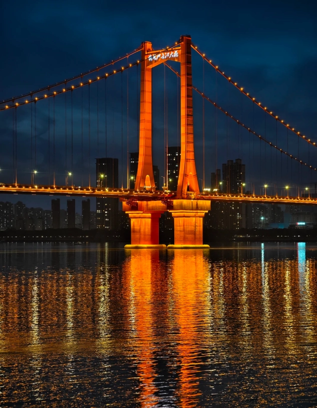
| Item | Price (RMB) | Notes |
|---|---|---|
| Walking on bridge | Free | Open 24/7; but avoid 12 PM – 2 PM in summer (burning hot). |
| Observation deck | 30 RMB (adult) | Ticket includes a small museum inside the tower. Hours: 9:00–17:00 (last entry 16:30). |
| Children (under 1.2 m) | Free | No ticket needed for deck. |
| Seniors (over 65) | 15 RMB | Bring passport for age verification. |
You don't need to pre-book. Just buy at the window. But beware of touts near the entrance trying to sell you "express tickets" for 50 RMB—it's the same line. I watched a French couple get tricked last month. Just walk to the official booth, it's clearly marked in Chinese and English.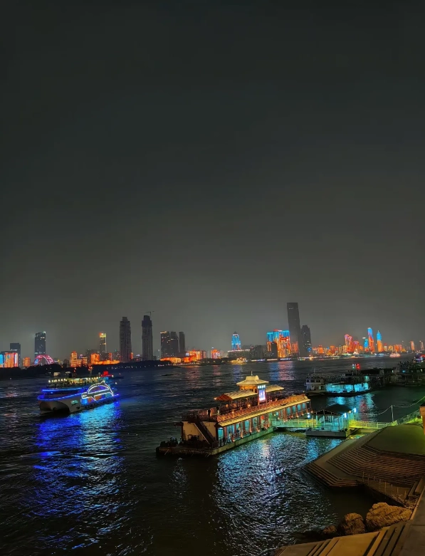
Best Photo Spots on the Bridge
Okay, this is where my experience saves you from disappointment. The bridge itself is 1.6 km long. Most people walk straight to the middle and snap a selfie with the river behind. But the light is brutal at midday—the Yangtze becomes a grey haze. Here's my timing:
- Sunrise (5:30–6:30 AM): Golden light hits the steel arches. Almost no tourists. I bring a thermos of coffee and enjoy the quiet before Wuhan wakes up.
- Late afternoon (4:00–5:30 PM): The sun is behind the Wuchang skyline, warm tones on the bridge and water. This is when I take my groups.
- Night (after 7 PM): The bridge lights up. For night shots, I recommend the north end near the TV Tower—less crowd, better angle.
One hidden spot: halfway across, there's a small watchtower staircase that descends to a riverside promenade. It's not marked on any map. From there, you can shoot upward through the bridge girders—Instagram gold. I'll show you exactly where: after walking 600 meters from the Wuchang entrance, look for a green metal gate on your left (if heading north). Push it open (it's unlocked) and go down 3 flights of stairs. You're welcome.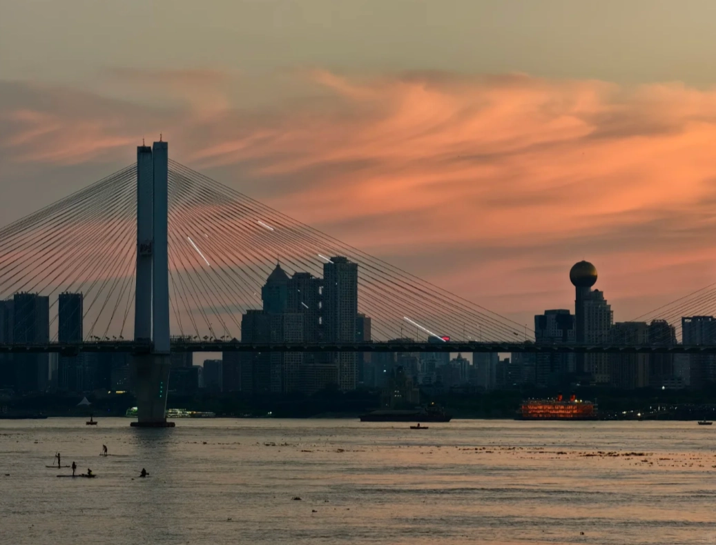
My Favorite Walking Route
I always start from the Wuchang side (Yellow Crane Tower area). Walk to the center of the bridge (about 800 meters), take in the view of the Yangtze and the Turtle Mountain TV Tower, then cross to the Hanyang side and descend via the Qingchuan Pavilion area. Total time: 40 minutes at a relaxed pace. But here's the catch: the Hanyang side has fewer metro options. So if you're tired, I recommend walking only halfway and turning back. The view is just as good and you end up where you started.
3 Common Mistakes Tourists Make
- Using the wrong metro station: Some maps show "Xunlimen" or "Hanyang" stations—they're far. Always aim for Simenkou (Line 5).
- Paying for the elevator: The bridge has passenger elevators at both ends for disabled access, but some locals will offer to "take you up" for 5 RMB. It's free for everyone. Just press the button.
- Not checking the tide: In summer, the Yangtze water level can rise to cover the riverside paths near Qingchuan Pavilion. Check weather or ask a local before heading down those stairs.
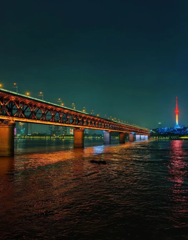
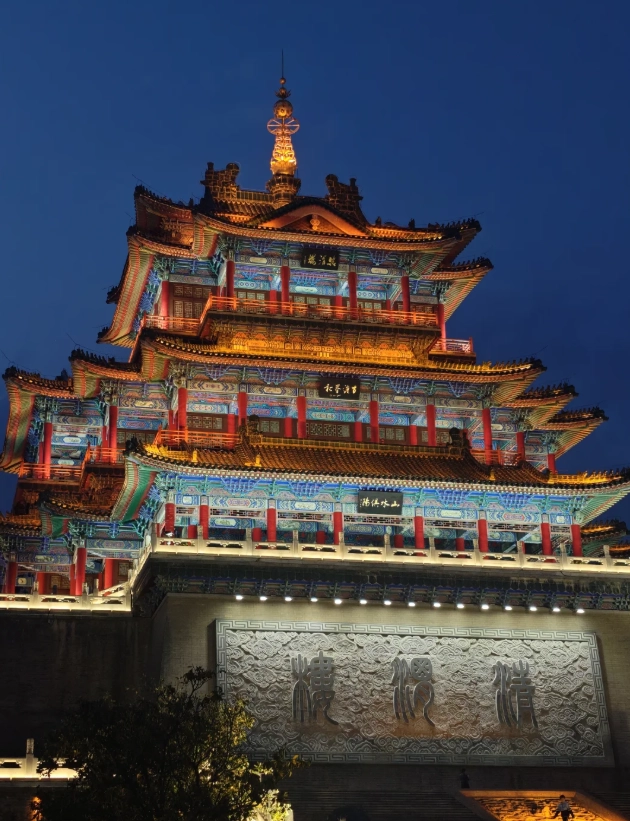
Disappointed for the price. The map looks nice in the shop but once I unfolded it on the bridge, the ink started smudging from my slightly sweaty hands. The paper is too thin—it tore along the fold after the second use. And honestly, the information is pretty basic; I could get the same stuff from a free Google Maps download. It didn't even mention the renovation work happening on the south end that blocked part of the path. Would not recommend unless you just want a cheap souvenir to frame.
Pretty good map overall. It got me from the bus stop to the bridge entrance without issues, and the historical timeline on the back is a neat read while you rest on a bench. However, a couple of the bus route numbers were outdated—one of them no longer runs to that stop, so I had to ask a local for help. The map itself is well-designed and the scale is decent. With a quick update on the transportation info this would be a solid 5. Still worth the few yuan.
This map is a game changer for photographers. It marks the exact spots where you can get the classic skyline shot with the bridge and the river, plus two hidden angles that avoid the crowds. I spent a whole morning chasing the golden hour locations listed inside—got some killer shots that none of the other tourists seemed to find. The walking route suggestions are also very practical, saving you from backtracking. Pro tip: bring a headlamp if you’re doing sunset—the print is small but legible.
Honestly one of the best travel souvenirs I've ever bought. The map is printed on sturdy, water-resistant paper which survived my backpack through humidity and a sudden drizzle. It shows not just the bridge but also the best routes to connect from the Yellow Crane Tower to the riverbank. The little icons for street food stalls are surprisingly accurate—I found the best 热干面 near the north end using it. Only wish it had a few more metro station markers, but that's a minor quibble.
Used this map last week while walking the full length of the bridge. Absolutely loved how it highlights the best viewpoints—I would have totally missed the little balcony near the Hanyang side without it. The historical notes about the Soviet engineers are a nice touch, and the fold-out design made it easy to read even in the windy conditions up there. Paired with a coffee from the nearby shop? Perfect afternoon. Highly recommend for anyone who wants more than just a selfie.